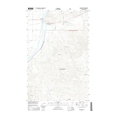
2014 Map of Cartwright
USGS Topo · Published 2014About this map
Cartwright serves as the primary hub in this northwestern pocket of McKenzie County, situated near the confluence of several vital watercourses. The Yellowstone River dominates the western portion of the terrain, spanned by the Hjalmer Nelson Memorial Bridge along ND-200. This transportation corridor connects the settlement to the surrounding landscape, which is heavily shaped by the Little Missouri National Grassland.
Find a feature on this map
30 named features on this map. Tap any name to fly to it.
Don’t see what you’re looking for? This feature index may not catch every label — zoom into the map to look around manually.
Map Details
Editions of this 2014 Cartwright Map
This is the sole edition of this map. No revisions or reprints were ever made.
Other maps of this area

1909 · Glendive
USGS Topo · 1:250,000

1953 · Watford City
USGS Topo · 1:250,000

1954 · Glendive
USGS Topo · 1:250,000

1957 · Glendive
USGS Topo · 1:250,000

1957 · Watford City
USGS Topo · 1:250,000

1958 · Glendive
USGS Topo · 1:250,000

1966 · Sidney NE
USGS Topo · 1:24,000

1967 · Watford City
USGS Topo · 1:250,000
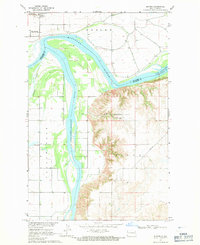
1968 · Buford
USGS Topo · 1:24,000
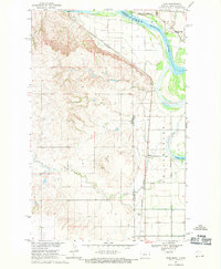
1968 · Dore
USGS Topo · 1:24,000