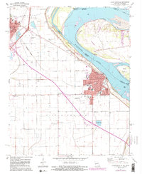
1971 Map of Caruthersville
USGS Topo · Published 1983About this map
Caruthersville and Hayti dominate this riverfront landscape during a period of transition, as new interstate construction began to reshape the Bootheel region. The Mississippi River remains the primary geographic anchor, defining the border between Missouri and Tennessee near Island No 15 and Blaker Towhead. While the town of Caruthersville shows its established grid with landmarks like the City Hall Post Office and the Fairground, the surrounding Little Prairie is marked by a deep genealogical record, including Morgan Ridge Cem, Patterson Cem, and the historic Indian Mound near Huffman Cem. The introduction of major highway interchanges and the presence of the Burlington Northern railroad highlight the area's evolving transportation network, which connects the smaller community of Stubtown to the larger river hubs.
Find a feature on this map
43 named features on this map. Tap any name to fly to it.
Don’t see what you’re looking for? This feature index may not catch every label — zoom into the map to look around manually.
Map Details
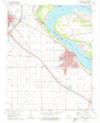
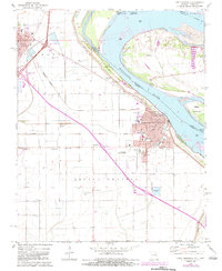
Editions of this 1971 Caruthersville Map
3 editions found
Other maps of this area

1939 · Portageville
USGS Topo · 1:62,500

1939 · Caruthersville
USGS Topo · 1:62,500

1940 · Pascola
USGS Topo · 1:62,500

1940 · Hayti
USGS Topo · 1:62,500

1951 · Caruthersville
USGS Topo · 1:62,500

1955 · Pascola
USGS Topo · 1:62,500

1955 · Hayti
USGS Topo · 1:62,500

1955 · Portageville
USGS Topo · 1:62,500

1956 · Dyersburg
USGS Topo · 1:250,000

1957 · Caruthersville
USGS Topo · 1:62,500