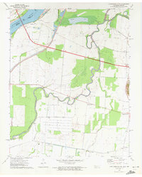
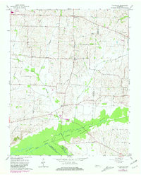
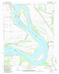
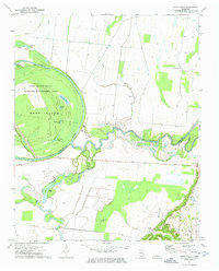
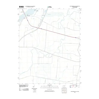
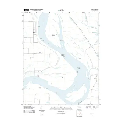
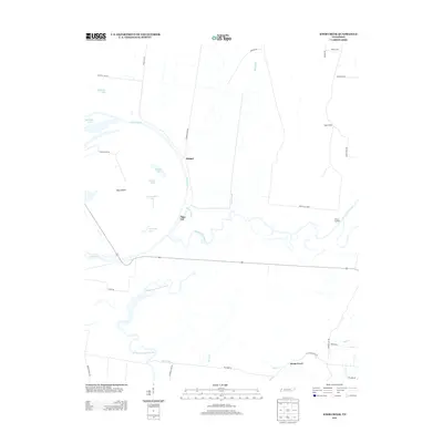
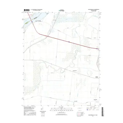
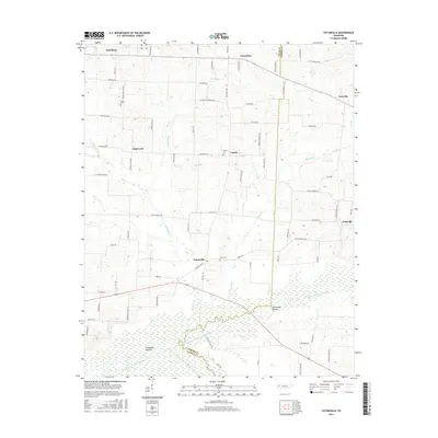
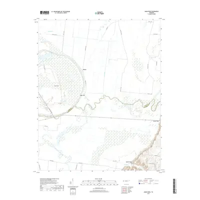
1971 Map of Caruthersville SE
USGS Topo · Published 1972About this map
The Mississippi River forms a shifting boundary between Missouri and Tennessee in this riverine landscape, where the Obion River meanders through low-lying bottomlands. Small rural communities like Boothspoint, Mengelwood, and Tylersville are linked by a developing road network, including a major highway noted as Under Construction during the early 1970s. The region’s hydrology is defined by complex drainage patterns, with Running Reelfoot Bayou and Rush Slough cutting through the floodplain.
Find a feature on this map
20 named features on this map. Tap any name to fly to it.
Don’t see what you’re looking for? This feature index may not catch every label — zoom into the map to look around manually.
Map Details
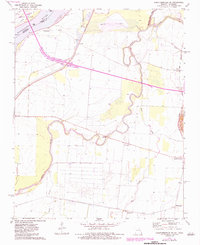
Editions of this 1971 Caruthersville SE Map
2 editions found
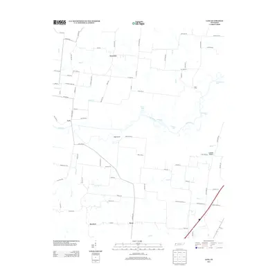
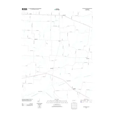
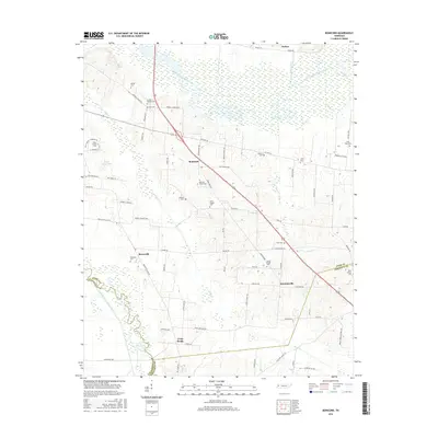
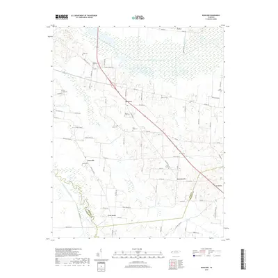
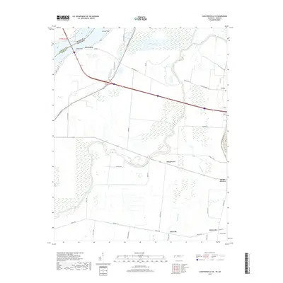
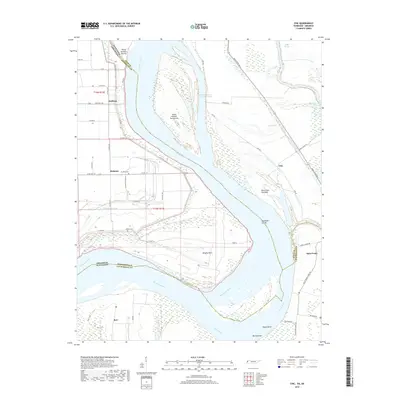
Historical Maps of Mengelwood Through Time
35 maps found
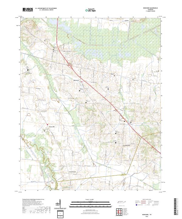
1952 Bonicord
Dyer County, TN
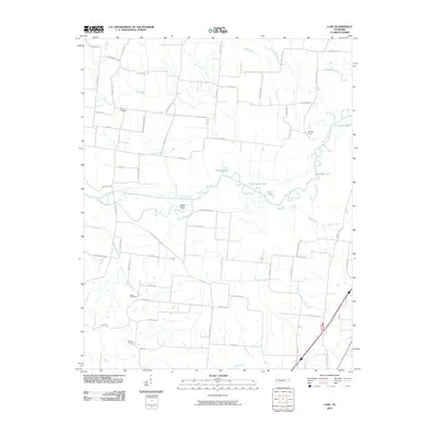
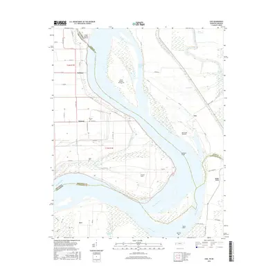
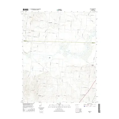
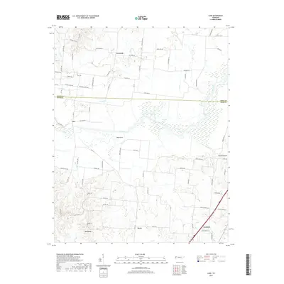
1952 Lane
Dyer County, TN
1965 Tatumville
Dyer County, TN
1972 Chic
Dyer County, TN
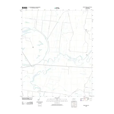
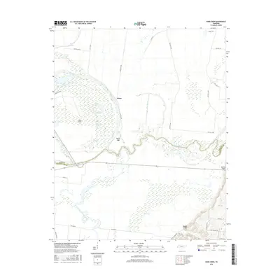
1972 Knob Creek
Dyer County, TN
2010 Bonicord
Dyer County, TN
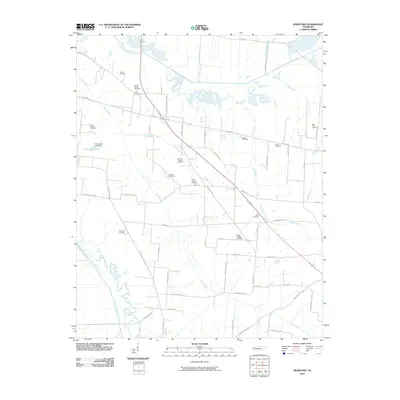
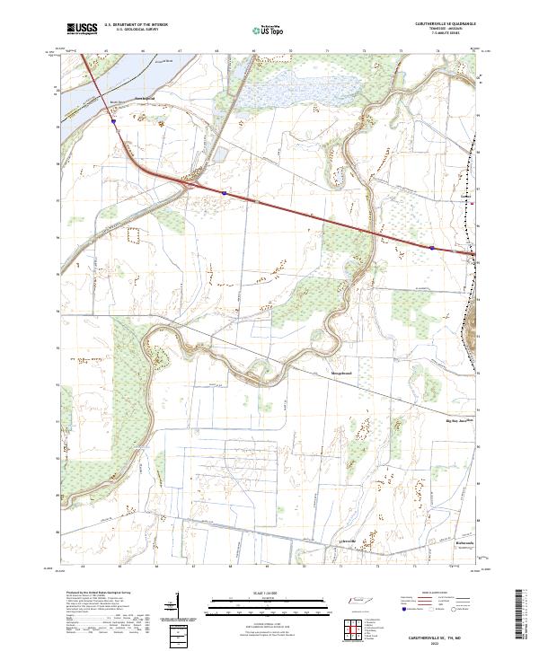
2010 Caruthersville SE
Dyer County, TN
2010 Knob Creek
Dyer County, TN
2010 Lane
Dyer County, TN
2010 Tatumville
Dyer County, TN
2011 Chic
Dyer County, TN
2013 Bonicord
Dyer County, TN
2013 Caruthersville SE
Dyer County, TN
2013 Chic
Dyer County, TN
2013 Knob Creek
Dyer County, TN
2013 Lane
Dyer County, TN
2013 Tatumville
Dyer County, TN
2016 Bonicord
Dyer County, TN
2016 Caruthersville SE
Dyer County, TN
2016 Chic
Dyer County, TN
2016 Knob Creek
Dyer County, TN
2016 Lane
Dyer County, TN
2016 Tatumville
Dyer County, TN
2019 Bonicord
Dyer County, TN
2019 Caruthersville SE
Dyer County, TN
2019 Chic
Dyer County, TN
2019 Knob Creek
Dyer County, TN
2019 Lane
Dyer County, TN

2019 Tatumville
Dyer County, TN
2022 Bonicord
Dyer County, TN
2022 Caruthersville SE
Dyer County, TN
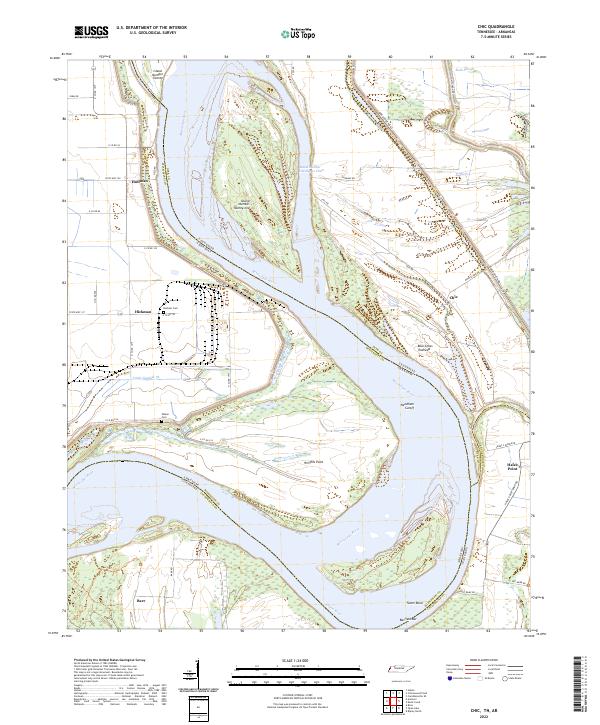
2022 Chic
Dyer County, TN
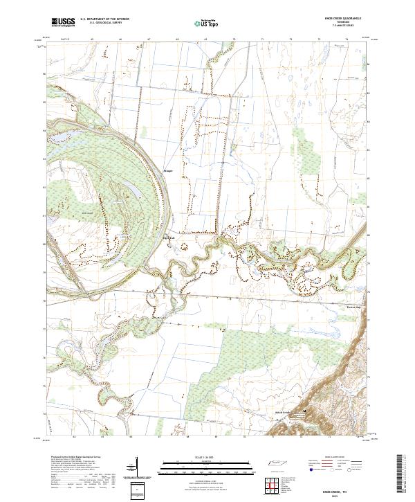
2022 Knob Creek
Dyer County, TN
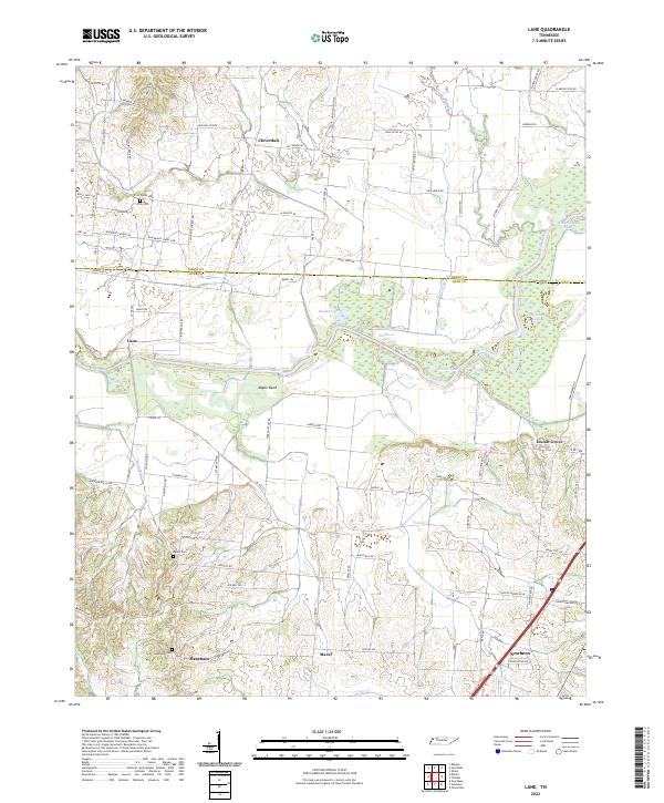
2022 Lane
Dyer County, TN
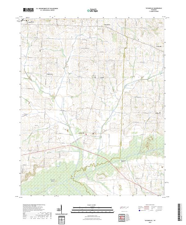
2022 Tatumville
Dyer County, TN