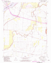
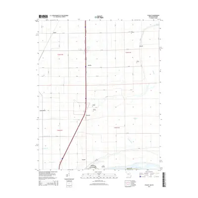
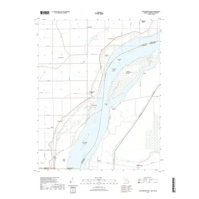
1971 Map of Caruthersville SE
USGS Topo · Published 1984About this map
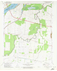
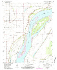
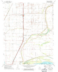
Mississippi River floodplains define the landscape of this border region, where Missouri and Tennessee meet along a shifting riverine boundary. The 1971 survey reveals an intricate network of levees and drainage features essential to the agricultural life of Pemiscot and Dyer counties. The Obion River snakes through the southern portion of the sheet, eventually joining the larger system near Mengelwood. Regional transport and commerce at this time were anchored by the Illinois Central Gulf railroad, which provided a vital link for the scattered settlements and timber operations that historically characterized this corner of the Mississippi Delta.
Find a feature on this map
24 named features on this map. Tap any name to fly to it.
Don’t see what you’re looking for? This feature index may not catch every label — zoom into the map to look around manually.
Map Details
Editions of this 1971 Caruthersville SE Map
2 editions found
Historical Maps of Mengelwood Through Time
13 maps found
1971 Caruthersville SE
Pemiscot County, MO
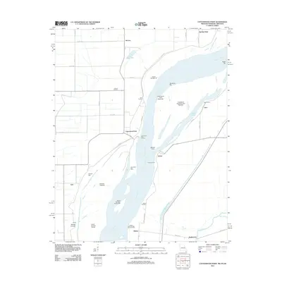
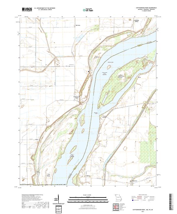
1971 Cottonwood Point
Pemiscot County, MO
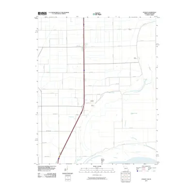
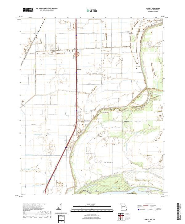
1971 Stanley
Pemiscot County, MO
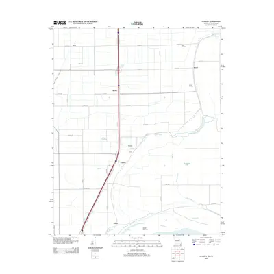
2010 Stanley
Pemiscot County, MO

2011 Cottonwood Point
Pemiscot County, MO
2012 Cottonwood Point
Pemiscot County, MO
2012 Stanley
Pemiscot County, MO

2015 Cottonwood Point
Pemiscot County, MO
2015 Stanley
Pemiscot County, MO
2017 Cottonwood Point
Pemiscot County, MO
2017 Stanley
Pemiscot County, MO
2021 Cottonwood Point
Pemiscot County, MO
2021 Stanley
Pemiscot County, MO