
1953 Map of Casa Diablo Mtn
USGS Topo · Published 1955About this map
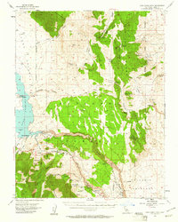
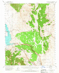
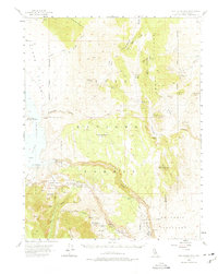
Lake Crowley and the Owens River define the western and central drainages of this 1950s High Sierra landscape. The map reveals an active mining district across the Benton Range and the slopes of Casa Diablo Mtn, where numerous claims like the Wildrose Mine, Gold Crown Mine, and Black Rock Mine are recorded. This era shows the early infrastructure of the region, including the Rock Creek Guard Sta and the Power House near the Volcanic Tableland. Travel through the pass is marked by Toms Place and the Sherwin Summit along the primary mountain road. Small outposts and residential sites such as Sky Meadow Ranch and Mesa Camp provide evidence of mid-century settlement amidst the dominant geography of Long Valley and Glass Mtn Ridge.
Find a feature on this map
55 named features on this map. Tap any name to fly to it.
Don’t see what you’re looking for? This feature index may not catch every label — zoom into the map to look around manually.
Map Details
Editions of this 1953 Casa Diablo Mtn Map
4 editions found
Other maps of this area

1912 · Mt. Goddard
USGS Topo · 1:125,000

1913 · Bishop
USGS Topo · 1:125,000

1914 · Mt. Morrison
USGS Topo · 1:125,000

1917 · White Mountain
USGS Topo · 1:125,000

1947 · Mariposa
USGS Topo · 1:250,000

1948 · Mariposa
USGS Topo · 1:250,000

1949 · Mt. Tom
USGS Topo · 1:62,500

1949 · Bishop
USGS Topo · 1:62,500

1951 · Mt. Tom
USGS Topo · 1:62,500

1951 · Bishop
USGS Topo · 1:62,500