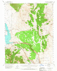
1953 Map of Casa Diablo Mtn
USGS Topo · Published 1967About this map
The Benton Range and the high desert canyons of Inyo National Forest dominate this mid-century survey, revealing a landscape defined by mining history and water management. Mining activity is concentrated in the eastern ridges, with operations like the Gold Crown Mine, Wildrose Mine, and the historic Kings Mill (Site) dotting the slopes above Chidago Canyon. To the west, the expansion of regional water infrastructure is evident at Crowley Lake, featuring the Long Valley Dam and distinct boat access points at North Landing and South Landing.
Find a feature on this map
62 named features on this map. Tap any name to fly to it.
Don’t see what you’re looking for? This feature index may not catch every label — zoom into the map to look around manually.
Map Details
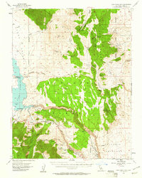
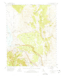
Editions of this 1953 Casa Diablo Mtn Map
4 editions found

Other maps of this area

1912 · Mt. Goddard
USGS Topo · 1:125,000

1913 · Bishop
USGS Topo · 1:125,000

1914 · Mt. Morrison
USGS Topo · 1:125,000

1917 · White Mountain
USGS Topo · 1:125,000

1947 · Mariposa
USGS Topo · 1:250,000

1948 · Mariposa
USGS Topo · 1:250,000

1949 · Mt. Tom
USGS Topo · 1:62,500

1949 · Bishop
USGS Topo · 1:62,500

1951 · Mt. Tom
USGS Topo · 1:62,500

1951 · Bishop
USGS Topo · 1:62,500