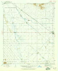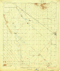
1994 Map of Casa Grande
USGS Topo · Published 1994About this map
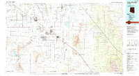
Casa Grande National Monument (Ruins) stands as a focal point in this 1994 survey, illustrating the historical depth of the Gila River valley. The map details a complex irrigation and transport network, including the Southern Pacific railroad and the Florence-Casa Grande Canal Extension, which shaped the development of towns like Eloy, Coolidge, and Casa Grande. Industrial activity is evident through numerous workings such as the Silver Reef Mine and Old Jonah Mine in the southern mountains, while the extensive tribal lands of the Gila River Indian Reservation and Tohono O'odham Nation Indian Reservation highlight the regional cultural heritage. The landscape is defined by the flat expanse of the Santa Cruz Flats and the prominent Picacho Mountains, showing how water management via the Tat Momolikot Dam and Greene Reservoir transformed the arid terrain for agricultural use.
Find a feature on this map
85 named features on this map. Tap any name to fly to it.
Don’t see what you’re looking for? This feature index may not catch every label — zoom into the map to look around manually.
Map Details
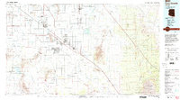
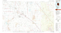
Editions of this 1994 Casa Grande Map
3 editions found
Historical Maps of Maricopa Through Time
3 maps found