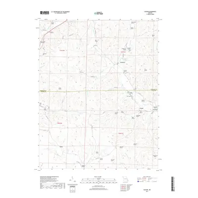
2017 Map of Cascade
USGS Topo · Published 2017About this map
The Saint Francois Mountains define the northern terrain of this quadrangle, where the E Fork Big Cr and W Fork Big Cr converge near the settlement of Buckhorn. The landscape is a dense network of hollows named for local families and landmarks, including Cab Barrett Hollow, Joe Hollow, and Norris Hollow. Along the boundary between Madison and Wayne counties, small communities like Cascade and Gravelton sit near the winding banks of Big Cr.
Find a feature on this map
82 named features on this map. Tap any name to fly to it.
Don’t see what you’re looking for? This feature index may not catch every label — zoom into the map to look around manually.
Map Details
Editions of this 2017 Cascade Map
This is the sole edition of this map. No revisions or reprints were ever made.
Other maps of this area

1930 · Coldwater
USGS Topo · 1:62,500

1933 · Marquand
USGS Topo · 1:62,500

1934 · Greenville
USGS Topo · 1:62,500

1935 · Zalma
USGS Topo · 1:62,500

1938 · Marquand
USGS Topo · 1:62,500

1939 · Greenville
USGS Topo · 1:62,500

1939 · Zalma
USGS Topo · 1:62,500

1949 · Rolla
USGS Topo · 1:250,000

1949 · Coldwater
USGS Topo · 1:62,500

1953 · Rolla
USGS Topo · 1:250,000