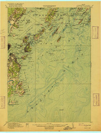
1916 Map of Casco Bay
USGS Topo · Published 1916About this map
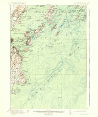
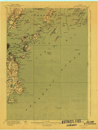
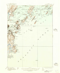
The coastal defense network of Cumberland County is meticulously documented in this 1916 survey, showcasing a landscape of maritime industry and military readiness. Heavy fortifications like Fort McKinley on Great Diamond Island, Fort Williams, and Fort Preble guard the approaches to Portland and South Portland. The map details the complex navigation of Casco Bay, from the White Head Passage to the outer Atlantic Ocean reach marked by the Cape Elizabeth Lightship. Inland, the Portland and Yarmouth Electric RR connects coastal settlements such as Falmouth Foreside and Underwood Spring. This edition reveals the early 20th-century character of the shoreline, where local life at Pond Cove and Willard Beach exists alongside significant federal facilities like the Marine Hospital and the Quarantine Station. It is an essential document for understanding the strategic and social geography of the Maine coast before mid-century modernization changed the waterfront.
Find a feature on this map
139 named features on this map. Tap any name to fly to it.
Don’t see what you’re looking for? This feature index may not catch every label — zoom into the map to look around manually.
Map Details
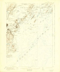
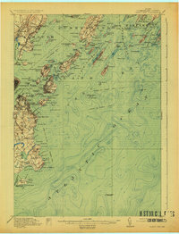
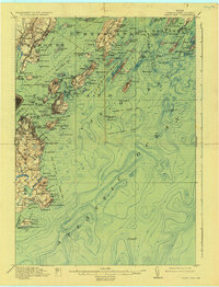
Editions of this 1916 Casco Bay Map
8 editions found

Other maps of this area

1891 · Portland
USGS Topo · 1:62,500

1891 · Biddeford
USGS Topo · 1:62,500

1892 · Freeport
USGS Topo · 1:62,500

1893 · Biddeford
USGS Topo · 1:62,500

1893 · Small Point
USGS Topo · 1:62,500

1893 · Portland
USGS Topo · 1:62,500

1893 · Casco Bay
USGS Topo · 1:62,500

1894 · Gray
USGS Topo · 1:62,500

1894 · Bath
USGS Topo · 1:62,500

1898 · Gray
USGS Topo · 1:62,500