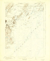
1916 Map of Casco Bay
USGS Topo · Published 1925About this map
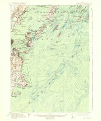
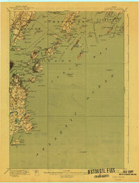
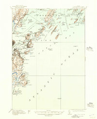
Fort Mc Kinley and a dense network of coastal defenses stand guard over the entrance to Portland Harbor in the years leading up to the first World War. This maritime landscape is defined by its complex shoreline, where the Atlantic Ocean meets an intricate archipelago of islands including Great Chebeague Island, Long Island, and Cushing Island. The map illustrates the region's reliance on waterborne transport, marking numerous ferry and steamboat lines such as the Boston and New York Steamboat Route and the Boothbay and Rockland Route. On the mainland, the industrial and residential growth of South Portland and Falmouth Foreside is supported by the Grand Trunk RR and the Portland and Yarmouth Electric RR. Local institutions like the Marine Hospital and Pine Grove School reflect the established social fabric of Cumberland County during this era.
Find a feature on this map
168 named features on this map. Tap any name to fly to it.
Don’t see what you’re looking for? This feature index may not catch every label — zoom into the map to look around manually.
Map Details
Editions of this 1916 Casco Bay Map
8 editions found

Other maps of this area

1891 · Portland
USGS Topo · 1:62,500

1891 · Biddeford
USGS Topo · 1:62,500

1892 · Freeport
USGS Topo · 1:62,500

1893 · Biddeford
USGS Topo · 1:62,500

1893 · Small Point
USGS Topo · 1:62,500

1893 · Portland
USGS Topo · 1:62,500

1893 · Casco Bay
USGS Topo · 1:62,500

1894 · Gray
USGS Topo · 1:62,500

1894 · Bath
USGS Topo · 1:62,500

1898 · Gray
USGS Topo · 1:62,500