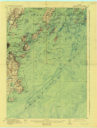
1916 Map of Casco Bay
USGS Topo · Published 1930About this map
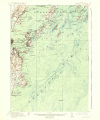
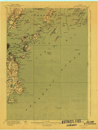
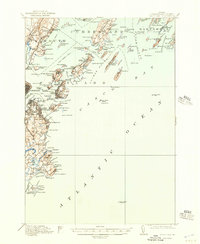
Casco Bay defines this coastal landscape, where the early 20th-century maritime economy is etched into the shoreline through complex steamboat routes and military fortifications. The strategic importance of the harbor entrance is visible in the cluster of defensive sites including Fort Williams, Fort Preble, and Fort Scammel. Further out, Halfway Rock Light and the Cape Elizabeth Lightship manage the approaches to the Fore River.
Find a feature on this map
151 named features on this map. Tap any name to fly to it.
Don’t see what you’re looking for? This feature index may not catch every label — zoom into the map to look around manually.
Map Details
Editions of this 1916 Casco Bay Map
8 editions found

Other maps of this area

1891 · Portland
USGS Topo · 1:62,500

1891 · Biddeford
USGS Topo · 1:62,500

1892 · Freeport
USGS Topo · 1:62,500

1893 · Biddeford
USGS Topo · 1:62,500

1893 · Small Point
USGS Topo · 1:62,500

1893 · Portland
USGS Topo · 1:62,500

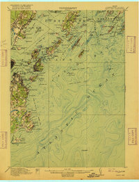
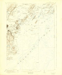
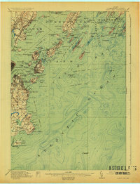
1893 · Casco Bay
USGS Topo · 1:62,500

1894 · Gray
USGS Topo · 1:62,500

1894 · Bath
USGS Topo · 1:62,500

1898 · Gray
USGS Topo · 1:62,500