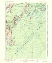
1916 Map of Casco Bay
USGS Topo · Published 1936About this map
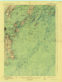
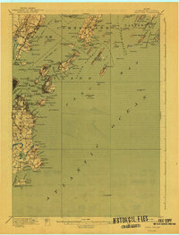
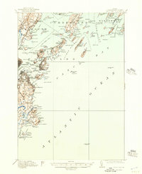
Fort Williams and Fort Levett stand as prominent coastal defenses along the approaches to Portland harbor in this early twentieth-century survey. The landscape is defined by its deep maritime heritage, from the bustling waterfront at South Portland to the steamer routes that connected these islands to the mainland, such as the Boston and New York Steamboat Route. On Great Diamond Island, Fort McKinley anchors the northern defense, while residential clusters like Mariner on Long Island and Trefethen Landing on Peak Island show the seasonal and year-round communities of the bay.
Find a feature on this map
166 named features on this map. Tap any name to fly to it.
Don’t see what you’re looking for? This feature index may not catch every label — zoom into the map to look around manually.
Map Details
Editions of this 1916 Casco Bay Map
8 editions found

Other maps of this area

1891 · Portland
USGS Topo · 1:62,500

1891 · Biddeford
USGS Topo · 1:62,500

1892 · Freeport
USGS Topo · 1:62,500

1893 · Biddeford
USGS Topo · 1:62,500

1893 · Small Point
USGS Topo · 1:62,500

1893 · Portland
USGS Topo · 1:62,500

1893 · Casco Bay
USGS Topo · 1:62,500

1894 · Gray
USGS Topo · 1:62,500

1894 · Bath
USGS Topo · 1:62,500

1898 · Gray
USGS Topo · 1:62,500