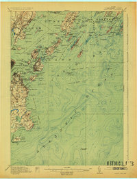
1916 Map of Casco Bay
USGS Topo · Published 1925About this map
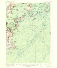
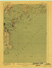
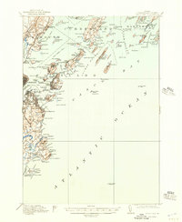
Coastal fortifications and maritime infrastructure dominate this mid-1910s survey of the Maine shoreline. The heavy military presence protecting Portland Harbor is visible through Fort McKinley, Fort Gorges, and Fort Williams, while the Quarantine Station on House Island and the Marine Hospital near Mackworth Island highlight the era's public health and harbor management. Inland, the Portland and Yarmouth Electric RR and the Grand Trunk RR show the region's reliance on both rail and trolley systems to connect coastal communities like Falmouth Foreside and South Portland. Numerous ferry routes and landings, such as Trefethen Landing and Mariner, define the social and economic movement across the islands of Casco Bay, while local landmarks like Meetinghouse Hill and Underwood Spring provide specific points of interest for genealogists tracing early twentieth-century neighborhood development.
Find a feature on this map
150 named features on this map. Tap any name to fly to it.
Don’t see what you’re looking for? This feature index may not catch every label — zoom into the map to look around manually.
Map Details
Editions of this 1916 Casco Bay Map
8 editions found

Other maps of this area

1891 · Portland
USGS Topo · 1:62,500

1891 · Biddeford
USGS Topo · 1:62,500

1892 · Freeport
USGS Topo · 1:62,500

1893 · Biddeford
USGS Topo · 1:62,500

1893 · Small Point
USGS Topo · 1:62,500

1893 · Portland
USGS Topo · 1:62,500

1893 · Casco Bay
USGS Topo · 1:62,500

1894 · Gray
USGS Topo · 1:62,500

1894 · Bath
USGS Topo · 1:62,500

1898 · Gray
USGS Topo · 1:62,500