
1916 Map of Casco Bay
USGS Topo · Published 1916About this map
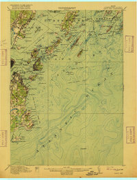
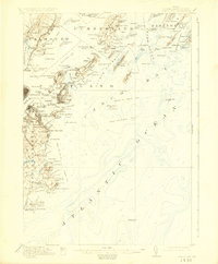
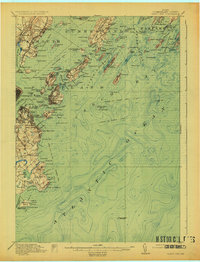
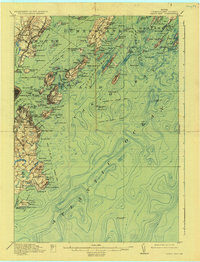
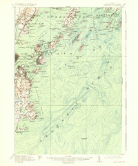
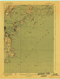
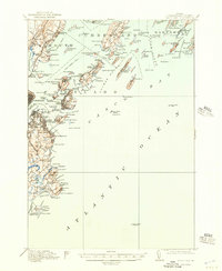
Coastal defenses and maritime infrastructure define this 1916 survey of the Maine coastline. At the height of the coastal artillery era, the region is heavily fortified with installations such as Fort McKinley on Great Diamond Island, Fort Williams near the Portland Head light, and Fort Preble guarding the entrance to the inner harbor. These military outposts are interspersed with numerous civilian steamer landings, including Waites Landing and Trefethen Landing, illustrating the vital role of waterborne transport before modern road networks dominated.
Find a feature on this map
90 named features on this map. Tap any name to fly to it.
Don’t see what you’re looking for? This feature index may not catch every label — zoom into the map to look around manually.
Map Details
Editions of this 1916 Casco Bay Map
8 editions found
Other maps of this area

1891 · Portland
USGS Topo · 1:62,500

1891 · Biddeford
USGS Topo · 1:62,500

1892 · Freeport
USGS Topo · 1:62,500

1893 · Biddeford
USGS Topo · 1:62,500

1893 · Small Point
USGS Topo · 1:62,500

1893 · Portland
USGS Topo · 1:62,500

1893 · Casco Bay
USGS Topo · 1:62,500

1894 · Gray
USGS Topo · 1:62,500

1894 · Bath
USGS Topo · 1:62,500

1898 · Gray
USGS Topo · 1:62,500