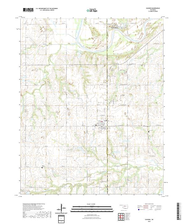
2022 Map of Cashion
USGS Topo · Published 2022About this map
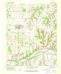
Cashion serves as a central hub on this landscape where the borders of Kingfisher Co and Logan Co meet. The settlement pattern is defined by a grid of rural roads such as W Seward Rd and W Charter Oak, connecting outlying homesteads to the town's core at Broadway Ave. Water management is a significant feature of the terrain, visible through the numerous impoundments along the Cottonwood Cr drainage, including Cottonwood Cr Site 11 Reservoir and Cottonwood Cr Site 12 Reservoir. To the north, the Cimarron River meanders across the quadrangle, flanked by the Twin Lakes community. Aviation history is noted by the presence of Chuck's Airstrip and Lockhart Field, while genealogists will find value in several burial sites like Mount Zion Cem, Cashion Cem, and Mercy Cem scattered across the township lines.
Find a feature on this map
54 named features on this map. Tap any name to fly to it.
Don’t see what you’re looking for? This feature index may not catch every label — zoom into the map to look around manually.
Map Details
Editions of this 2022 Cashion Map
This is the sole edition of this map. No revisions or reprints were ever made.
Other maps of this area

1892 · Kingfisher
USGS Topo · 1:125,000

1895 · Kingfisher
USGS Topo · 1:125,000

1954 · Oklahoma City
USGS Topo · 1:250,000

1957 · Oklahoma City
USGS Topo · 1:250,000

1963 · Oklahoma City
USGS Topo · 1:250,000
1966 · Bethany NE
USGS Topo · 1:24,000

1966 · Piedmont
USGS Topo · 1:24,000
1969 · Crescent NW
USGS Topo · 1:24,000
1970 · Navina
USGS Topo · 1:24,000
1970 · Crescent
USGS Topo · 1:24,000