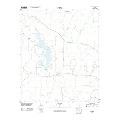
2010 Map of Cason
USGS Topo · Published 2010About this map
Welsh Reservoir and its associated Welsh Dam dominate the central landscape of this East Texas region, carving a complex shoreline through the timbered creek valleys. The settlement of Cason serves as a local crossroads, while smaller locales like Roeder and Gillis represent the dispersed nature of the community. This 2010 survey reflects a deeply personal landscape for family historians, preserving the locations of numerous burial grounds including Justiss Cemetery, Snodgrass Cemetery, and Lev Olds Cemetery.
Find a feature on this map
60 named features on this map. Tap any name to fly to it.
Don’t see what you’re looking for? This feature index may not catch every label — zoom into the map to look around manually.
Map Details
Editions of this 2010 Cason Map
This is the sole edition of this map. No revisions or reprints were ever made.
Other maps of this area

1914 · Daingerfield
USGS Topo · 1:62,500

1953 · Texarkana
USGS Topo · 1:250,000

1956 · Texarkana
USGS Topo · 1:250,000

1956 · Tyler
USGS Topo · 1:250,000

1960 · La Fayette
USGS Topo · 1:24,000

1960 · Pittsburg
USGS Topo · 1:24,000

1962 · Lone Star
USGS Topo · 1:24,000

1964 · Harvard
USGS Topo · 1:24,000

1964 · Daingerfield
USGS Topo · 1:24,000

1964 · Cason
USGS Topo · 1:24,000