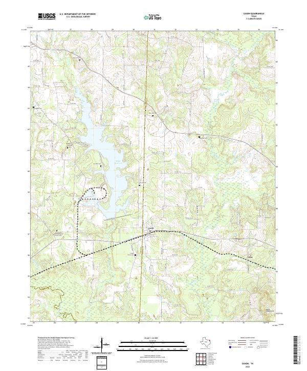
2022 Map of Cason
USGS Topo · Published 2022About this map
The Welsh Reservoir dominates the western half of this Northeast Texas landscape, its irregular shoreline creating a complex series of inlets and fingers that define the local geography. Situated along the boundary of Titus and Morris counties, the area is characterized by a high density of rural family burial sites and community landmarks. The settlement of Cason serves as a central hub, while the smaller community of Gillis lies to the southeast, connected by a network of farm-to-market and county roads. Numerous creeks, including Swauano Creek and Boggy Creek, weave through the terrain, illustrating the hydrological network that feeds the reservoir. Genealogists will find significant value in the documentation of scattered sites like Justiss Cemetery, Snodgrass Cemetery, and Snow Hill Cemetery, which reflect the generations of family history rooted in these woods and fields.
Find a feature on this map
99 named features on this map. Tap any name to fly to it.
Don’t see what you’re looking for? This feature index may not catch every label — zoom into the map to look around manually.
Map Details
Editions of this 2022 Cason Map
This is the sole edition of this map. No revisions or reprints were ever made.
Other maps of this area

1914 · Daingerfield
USGS Topo · 1:62,500

1953 · Texarkana
USGS Topo · 1:250,000

1956 · Texarkana
USGS Topo · 1:250,000

1956 · Tyler
USGS Topo · 1:250,000

1960 · La Fayette
USGS Topo · 1:24,000

1960 · Pittsburg
USGS Topo · 1:24,000

1962 · Lone Star
USGS Topo · 1:24,000

1964 · Harvard
USGS Topo · 1:24,000

1964 · Daingerfield
USGS Topo · 1:24,000

1964 · Cason
USGS Topo · 1:24,000