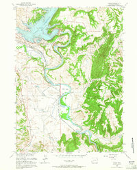
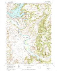
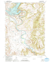
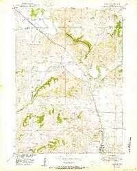
1961 Map of Cassa
USGS Topo · Published 1965About this map
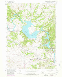
North Platte River waters dominate this central Wyoming landscape, where the construction of the Glendo Dam created the expansive Glendo Reservoir and adjacent Glendo State Park. This mid-century survey documents the area's transition into a regional water management and recreation hub while preserving the older pathways of Western expansion. The historic Emigrant Trail tracks through the western hills, passing Twin Springs and crossing Bear Creek. To the east, the Chicago Burlington and Quincy railroad follows the river's winding course through Wendover Canyon and past the small settlement of Cassa. High points like Baldy Mtn overlook a complex system of draws and flats, including Gyp Flat and Buckshot Draw, which reveal the arid, dissected nature of the Platte and Wyoming County borderlands during the early 1960s.
Find a feature on this map
31 named features on this map. Tap any name to fly to it.
Don’t see what you’re looking for? This feature index may not catch every label — zoom into the map to look around manually.
Map Details
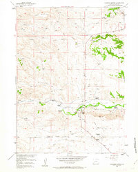
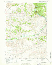
Editions of this 1961 Cassa Map
3 editions found
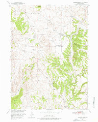
Other maps of this area

1896 · Hartville
USGS Topo · 1:125,000

1901 · Hartville
USGS Topo · 1:125,000
1949 · Cedar Top
USGS Topo · 1:24,000
1950 · Glendo
USGS Topo · 1:24,000

1950 · Cedar Top
USGS Topo · 1:24,000

1950 · Jewel Springs
USGS Topo · 1:24,000
1950 · Coleman Butte
USGS Topo · 1:24,000
1950 · Herman Ranch
USGS Topo · 1:24,000
1950 · Haushar Ranch
USGS Topo · 1:24,000
1950 · Guernsey Reservoir
USGS Topo · 1:24,000