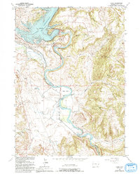
1961 Map of Cassa
USGS Topo · Published 1993About this map
The North Platte River winds through this portion of Wyoming, anchored by the massive Glendo Dam and the northern reaches of Glendo State Park. The landscape is a complex network of hydrologic features and rugged elevation changes, where the Glendo Reservoir meets dramatic landforms like Bulls Bend and Stroda Point. For historians, the map's most compelling detail is the path of the Emigrant Trail, which cuts across the western half of the quadrangle, paralleling the river's ancient corridor.
Find a feature on this map
34 named features on this map. Tap any name to fly to it.
Don’t see what you’re looking for? This feature index may not catch every label — zoom into the map to look around manually.
Map Details
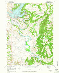
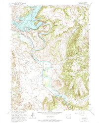
Editions of this 1961 Cassa Map
3 editions found
Other maps of this area

1896 · Hartville
USGS Topo · 1:125,000

1901 · Hartville
USGS Topo · 1:125,000

1949 · Cedar Top
USGS Topo · 1:24,000

1950 · Glendo
USGS Topo · 1:24,000

1950 · Cedar Top
USGS Topo · 1:24,000

1950 · Jewel Springs
USGS Topo · 1:24,000

1950 · Coleman Butte
USGS Topo · 1:24,000

1950 · Herman Ranch
USGS Topo · 1:24,000

1950 · Haushar Ranch
USGS Topo · 1:24,000

1950 · Guernsey Reservoir
USGS Topo · 1:24,000