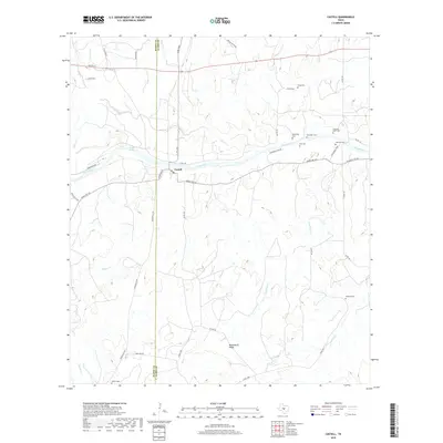
2019 Map of Castell
USGS Topo · Published 2019About this map
The Llano River winds through this Hill Country landscape, marking the historical heart of the small settlement of Castell. This area exhibits a high density of small family burial grounds clustered along the riverbanks and creek drainages, suggesting a legacy of early German settlement and homesteading. Notable sites include Vasterling Cem, Birk Cem, and Otto and Offer Cem, which are positioned near the water's edge where farming and ranching were most viable.
Find a feature on this map
45 named features on this map. Tap any name to fly to it.
Don’t see what you’re looking for? This feature index may not catch every label — zoom into the map to look around manually.
Map Details
Editions of this 2019 Castell Map
This is the sole edition of this map. No revisions or reprints were ever made.
Other maps of this area

1887 · Llano
USGS Topo · 1:125,000

1887 · Mason
USGS Topo · 1:125,000

1894 · Mason
USGS Topo · 1:125,000

1894 · Llano
USGS Topo · 1:125,000

1904 · Llano
USGS Topo · 1:125,000

1909 · Llano
USGS Topo · 1:125,000

1918 · Llano
USGS Topo · 1:125,000

1954 · Llano
USGS Topo · 1:250,000

1955 · Llano
USGS Topo · 1:250,000

1955 · Valley Spring
USGS Topo · 1:24,000