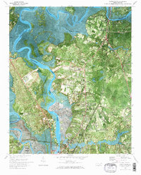
1970 Map of Castle Hayne
USGS Topo · Published 1973About this map
Northeast Cape Fear River dominates this 1970 orthophotomap, its winding path and tidal flats defining the landscape between Castle Hayne and the northern outskirts of Wilmington. The map documents a period of industrial and institutional growth, shown through the expansion of the New Hanover County Airport and the presence of the State Correctional Unit and Prison Farm. Heavy rail infrastructure like the Seaboard Coast Line connects the northern settlements of Brandon and Stanislaus toward the industrial riverfront near Navassa. Beyond the river banks, a network of country roads leads to local landmarks including St James Ch, Mt Holly Ch, and St Phillips Ch, while the vast Eagle Island sits at the confluence of the Cape Fear and Brunswick River, illustrating the complex coastal geography of the New Hanover and Brunswick county border.
Find a feature on this map
56 named features on this map. Tap any name to fly to it.
Don’t see what you’re looking for? This feature index may not catch every label — zoom into the map to look around manually.
Map Details
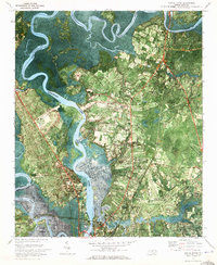
Editions of this 1970 Castle Hayne Map
2 editions found
Other maps of this area

1942 · Wilmington
USGS Topo · 1:62,500

1943 · Winnabow
USGS Topo · 1:24,000

1944 · Winnabow
USGS Topo · 1:31,680

1947 · Rocky Point
USGS Topo · 1:62,500

1948 · Wilmington
USGS Topo · 1:62,500

1950 · Winnabow
USGS Topo · 1:25,000

1953 · Florence
USGS Topo · 1:250,000

1953 · Beaufort
USGS Topo · 1:250,000

1954 · Florence
USGS Topo · 1:250,000

1954 · Beaufort
USGS Topo · 1:250,000