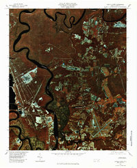
1980 Map of Castle Hayne
USGS Topo · Published 1985About this map
Northeast Cape Fear River snakes through the dense coastal wetlands and industrial corridors of New Hanover County in this infrared aerial orthophotograph. The 1980 survey captures a period of significant growth north of Wilmington, where the expanding residential footprints of Wrightsboro and Castle Hayne meet the agricultural fields and timberlands of the Atlantic coastal plain. The infrared spectrum highlights the stark contrast between the deep waters of the river and the vibrant vegetation of the surrounding marshes.
Find a feature on this map
10 named features on this map. Tap any name to fly to it.
Don’t see what you’re looking for? This feature index may not catch every label — zoom into the map to look around manually.
Map Details
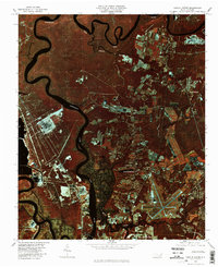
Editions of this 1980 Castle Hayne Map
2 editions found
Other maps of this area

1942 · Wilmington
USGS Topo · 1:62,500

1943 · Winnabow
USGS Topo · 1:24,000

1944 · Winnabow
USGS Topo · 1:31,680

1947 · Rocky Point
USGS Topo · 1:62,500

1948 · Wilmington
USGS Topo · 1:62,500

1950 · Winnabow
USGS Topo · 1:25,000

1953 · Florence
USGS Topo · 1:250,000

1953 · Beaufort
USGS Topo · 1:250,000

1954 · Florence
USGS Topo · 1:250,000

1954 · Beaufort
USGS Topo · 1:250,000