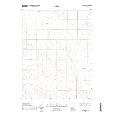
2018 Map of Castle Rock NW
USGS Topo · Published 2018About this map
The High Plains of western Kansas are defined by the deep drainage patterns of Big Cr and Hackberry Cr, which carve through the arid landscape of Gove and Trego counties. This 2018 survey documents the enduring grid of the Public Land Survey System, where section lines are traced by local routes like Gove 72 and Co Rd 82. The presence of Red Top Cem and the remote landing area at Jamison Field indicates a sparse, rural settlement pattern typical of the region's agricultural and ranching history. The boundary line between Gove Co and Trego Co runs north-south through the eastern third of the area, marking a political division across the otherwise uniform terrain. Local roads, often following the cardinal directions, provide access to the vast interior sections of t12s r26w and its neighboring townships.
Find a feature on this map
32 named features on this map. Tap any name to fly to it.
Don’t see what you’re looking for? This feature index may not catch every label — zoom into the map to look around manually.
Map Details
Editions of this 2018 Castle Rock NW Map
This is the sole edition of this map. No revisions or reprints were ever made.
Other maps of this area

1954 · Goodland
USGS Topo · 1:250,000

1955 · Scott City
USGS Topo · 1:250,000

1956 · Goodland
USGS Topo · 1:250,000

1957 · Goodland
USGS Topo · 1:250,000

1958 · Scott City
USGS Topo · 1:250,000

1972 · Gove NE
USGS Topo · 1:24,000

1972 · Castle Rock NW
USGS Topo · 1:24,000
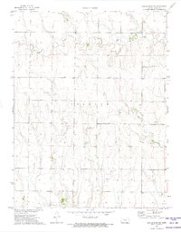
1972 · Castle Rock NE
USGS Topo · 1:24,000

1974 · Gove SE
USGS Topo · 1:24,000

1974 · Castle Rock
USGS Topo · 1:24,000