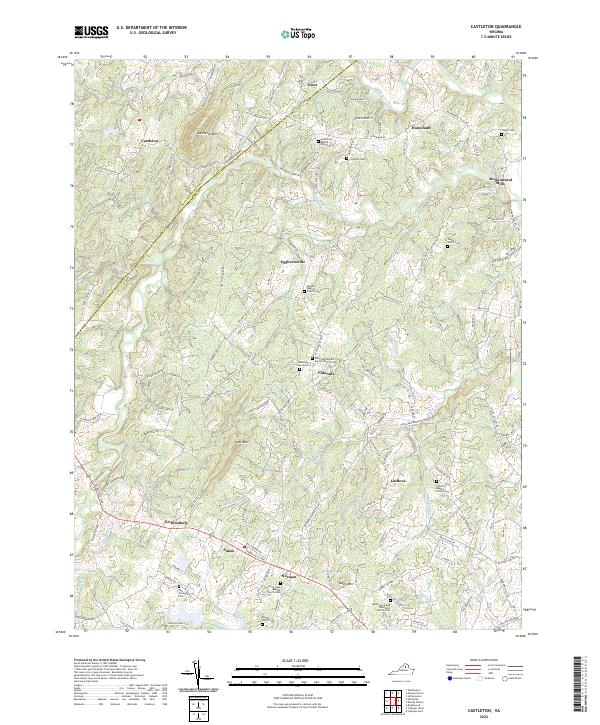
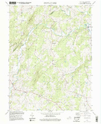
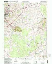
2022 Map of Castleton
USGS Topo · Published 2022This historical map portrays the area of Castleton in 2022, primarily covering Culpeper County as well as portions of Rappahannock County. Featuring a scale of 1:24000, this map provides a highly detailed snapshot of the terrain, roads, buildings, counties, and historical landmarks in the Castleton region at the time. Published in 2022, it is the sole known edition of this map.
Map Details
Editions of this 2022 Castleton Map
This is the sole edition of this map. No revisions or reprints were ever made.
Historical Maps of Culpeper County Through Time
13 maps found
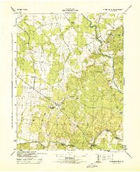
1943 Germanna Bridge
Culpeper County, VA
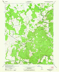
1944 Germanna Bridge
Culpeper County, VA
1968 Germanna Bridge
Culpeper County, VA
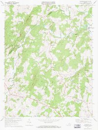
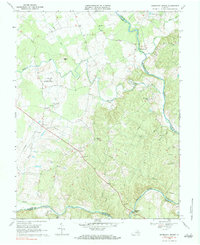
1971 Castleton
Culpeper County, VA
1971 Culpeper West
Culpeper County, VA
1973 Culpeper East
Culpeper County, VA
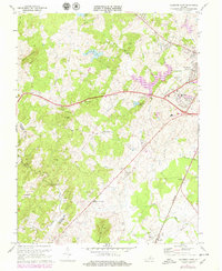
1994 Castleton
Culpeper County, VA
1994 Culpeper East
Culpeper County, VA
1997 Culpeper West
Culpeper County, VA
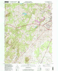
2022 Castleton
Culpeper County, VA
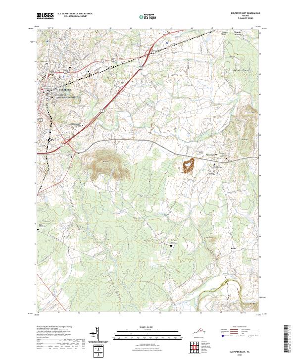
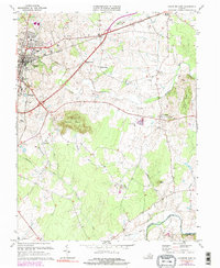
2022 Culpeper East
Culpeper County, VA
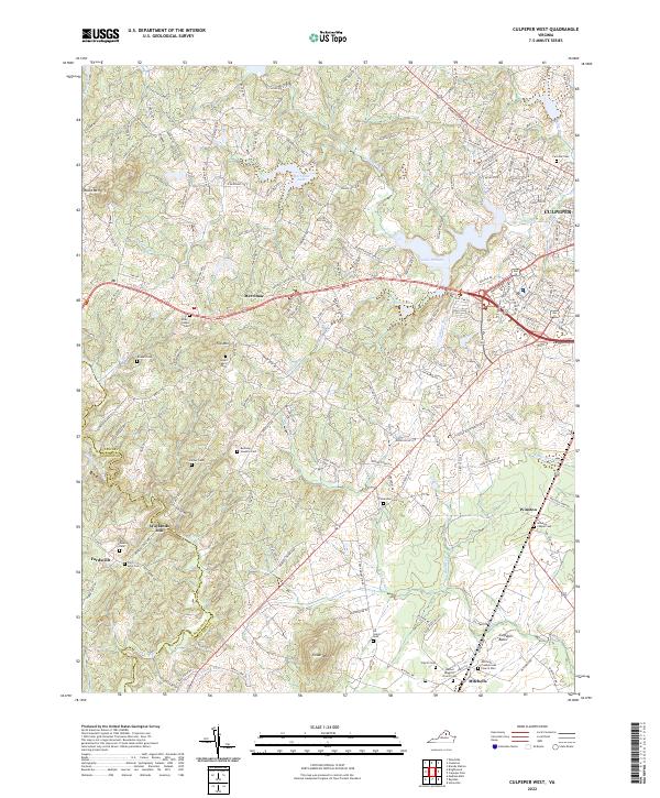
2022 Culpeper West
Culpeper County, VA
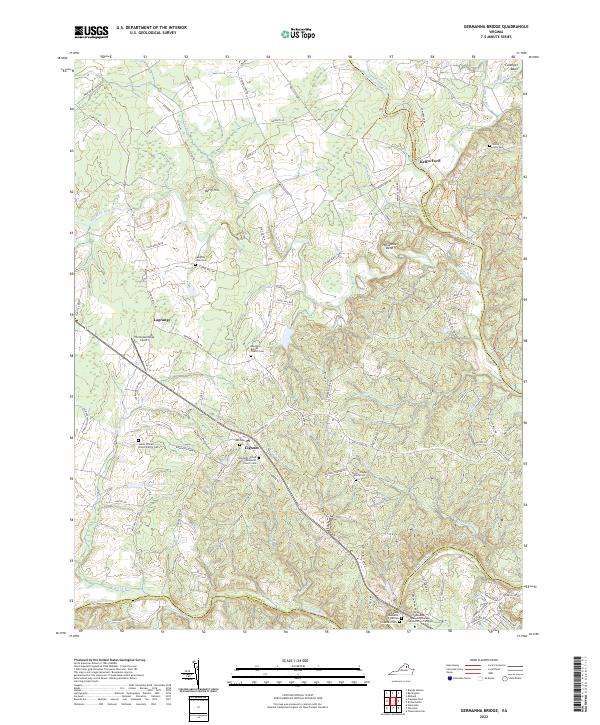
2022 Germanna Bridge
Culpeper County, VA