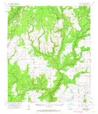
1961 Map of Castor Creek
USGS Topo · Published 1963About this map
The Calcasieu River and Bayou Nezpique define the hydrologic character of this Southwest Louisiana landscape, where the dense drainage of Castor Creek and Bayou Blue cuts through the piney woods and prairies. This 1961 survey documents a transitional economy where timber and agriculture meet emerging energy extraction, evidenced by the Gas Field near Reddell and scattered Oil Wells across the parishes. The presence of an Old Railroad Grade north of Merry Gully indicates the shifting logistics of the region, while the Missouri Pacific RR remains an active corridor through Oberlin. Genealogists will find significant value in the numerous family-named landmarks, such as McGee Cem, Sonnier Cem, and the St Johns Chapel, which anchor the small communities of Guy and Hampton to their nineteenth-century roots.
Find a feature on this map
53 named features on this map. Tap any name to fly to it.
Don’t see what you’re looking for? This feature index may not catch every label — zoom into the map to look around manually.
Map Details
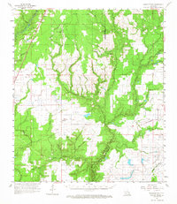
Editions of this 1961 Castor Creek Map
2 editions found
Other maps of this area

1935 · Beaver
USGS Topo · 1:31,680

1935 · Oakdale
USGS Topo · 1:31,680

1935 · Turkey Creek
USGS Topo · 1:62,500

1942 · Oakdale
USGS Topo · 1:62,500

1947 · Kinder
USGS Topo · 1:31,680

1947 · Fruge Lake
USGS Topo · 1:31,680

1947 · Foley
USGS Topo · 1:31,680

1947 · Oberlin
USGS Topo · 1:31,680

1947 · Pine Chapel
USGS Topo · 1:31,680

1947 · Redland
USGS Topo · 1:31,680