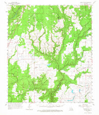
1961 Map of Castor Creek
USGS Topo · Published 1967About this map
Bayou Nezpique and the Calcasieu River define the intricate drainage system across this section of southwestern Louisiana during the early 1960s. The landscape is a network of smaller waterways like Castor Creek, Blue Bayou, and Sonnier Bayou, which intersect the boundary between Allen Parish and Evangeline Parish. Settled life is anchored by small communities such as Guy, Hampton, and Reddell, where the Missouri Pacific railroad provided a vital transportation link.
Find a feature on this map
52 named features on this map. Tap any name to fly to it.
Don’t see what you’re looking for? This feature index may not catch every label — zoom into the map to look around manually.
Map Details
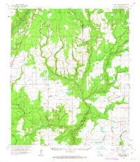
Editions of this 1961 Castor Creek Map
2 editions found
Other maps of this area

1935 · Beaver
USGS Topo · 1:31,680

1935 · Oakdale
USGS Topo · 1:31,680

1935 · Turkey Creek
USGS Topo · 1:62,500

1942 · Oakdale
USGS Topo · 1:62,500

1947 · Kinder
USGS Topo · 1:31,680

1947 · Fruge Lake
USGS Topo · 1:31,680

1947 · Foley
USGS Topo · 1:31,680

1947 · Oberlin
USGS Topo · 1:31,680

1947 · Pine Chapel
USGS Topo · 1:31,680

1947 · Redland
USGS Topo · 1:31,680