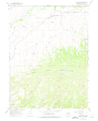
1966 Map of Castor Gulch
USGS Topo · Published 1975About this map
The Yampa River corridor and the northern reaches of the Williams Fork Mountains dominate this mid-century landscape south of Craig. Evidence of the region’s ranching and industrial development is visible through the intricate network of water management features like Deep Cut Ditch and Flume Gulch, which supported local agriculture and mining operations such as the Walker Mine. Near the river's Big Bottom, the terrain transitions from irrigated lowlands to the dissected plateaus of Thompson Hill.
Find a feature on this map
35 named features on this map. Tap any name to fly to it.
Don’t see what you’re looking for? This feature index may not catch every label — zoom into the map to look around manually.
Map Details
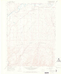
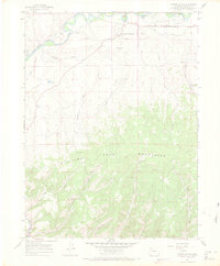
Editions of this 1966 Castor Gulch Map
3 editions found
Other maps of this area

1910 · Danforth Hills
USGS Topo · 1:125,000

1915 · Monument Butte
USGS Topo · 1:62,500

1916 · Craig
USGS Topo · 1:125,000

1916 · Daton Peak
USGS Topo · 1:62,500

1920 · Daton Peak
USGS Topo · 1:62,500

1923 · Elkhead Creek
USGS Topo · 1:62,500

1924 · Elkhead Creek
USGS Topo · 1:62,500

1954 · Craig
USGS Topo · 1:250,000

1957 · Craig
USGS Topo · 1:250,000

1958 · Craig
USGS Topo · 1:250,000