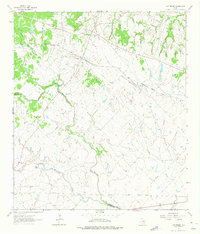
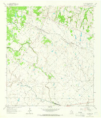
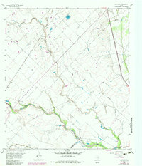
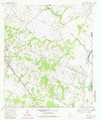
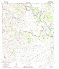
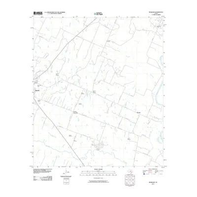
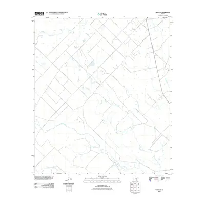
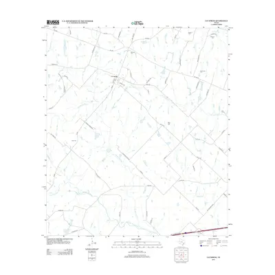
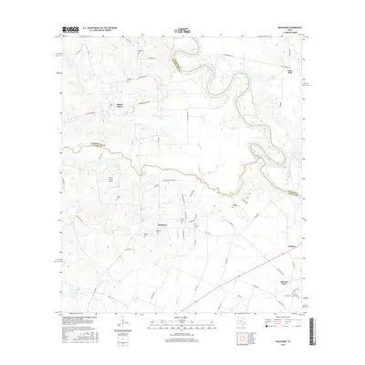
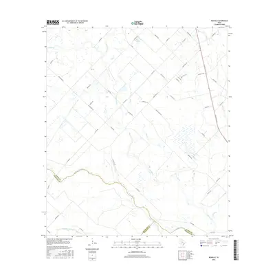
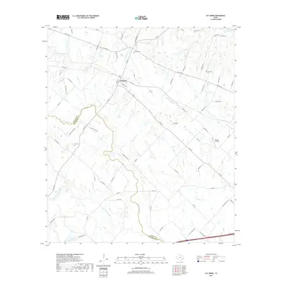
1963 Map of Cat Spring
USGS Topo · Published 1975About this map
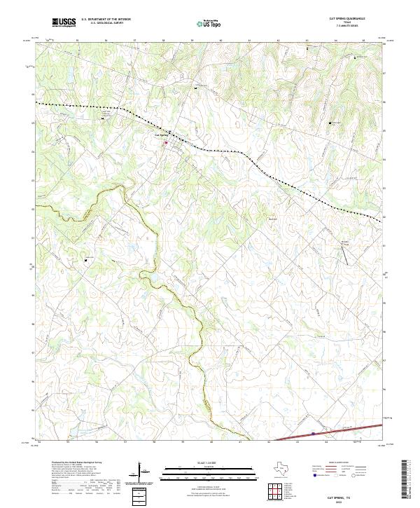
Cat Spring serves as the focal point of this coastal plains landscape, situated near the headwaters of several drainage systems. The Missouri Kansas Texas railroad cuts across the northern terrain, following a path that parallels Panther Creek and Plum Creek. The geography is defined by the winding course of the San Bernard River and the Little San Bernard River, which snake through the western and southern portions of the quadrangle, occasionally crossing the Austin Co-Colorado Co line.
Find a feature on this map
22 named features on this map. Tap any name to fly to it.
Don’t see what you’re looking for? This feature index may not catch every label — zoom into the map to look around manually.
Map Details
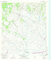
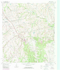
Editions of this 1963 Cat Spring Map
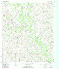
Historical Maps of Cat Spring Through Time
36 maps found
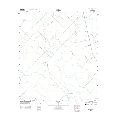
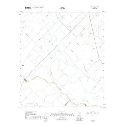
1960 Rexville
Austin County, TX
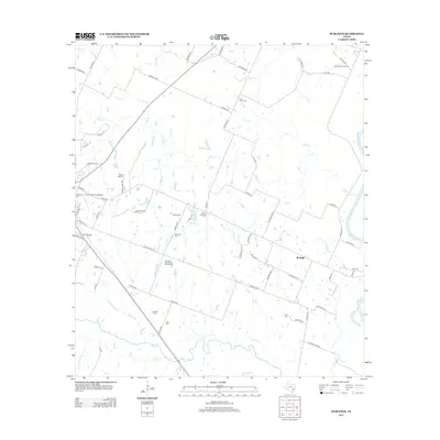
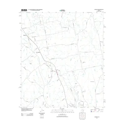
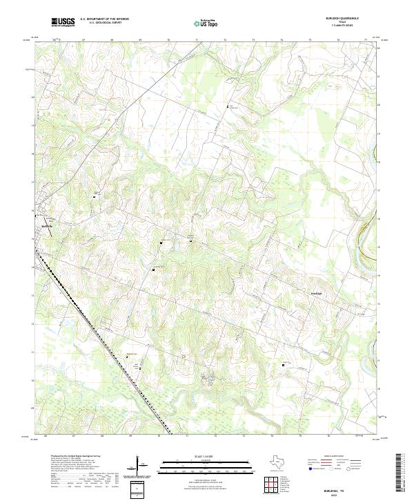
1961 Burleigh
Austin County, TX
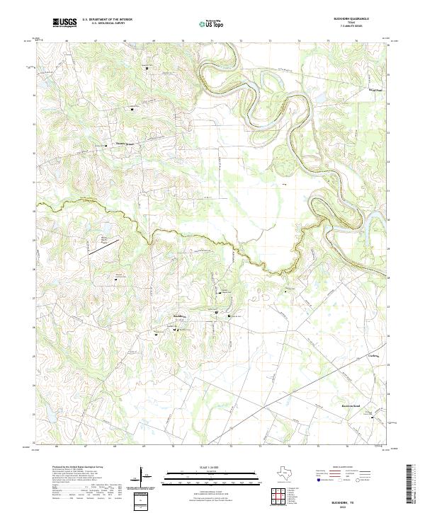
1962 Buckhorn
Austin County, TX
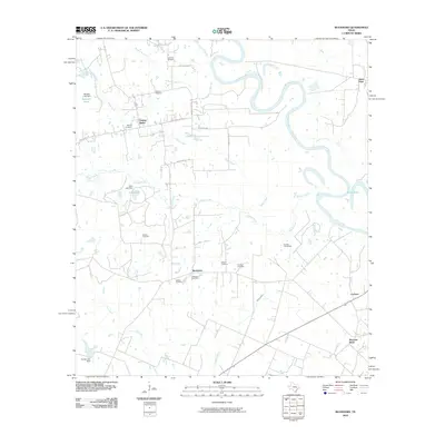
1963 Cat Spring
Austin County, TX
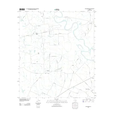
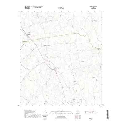
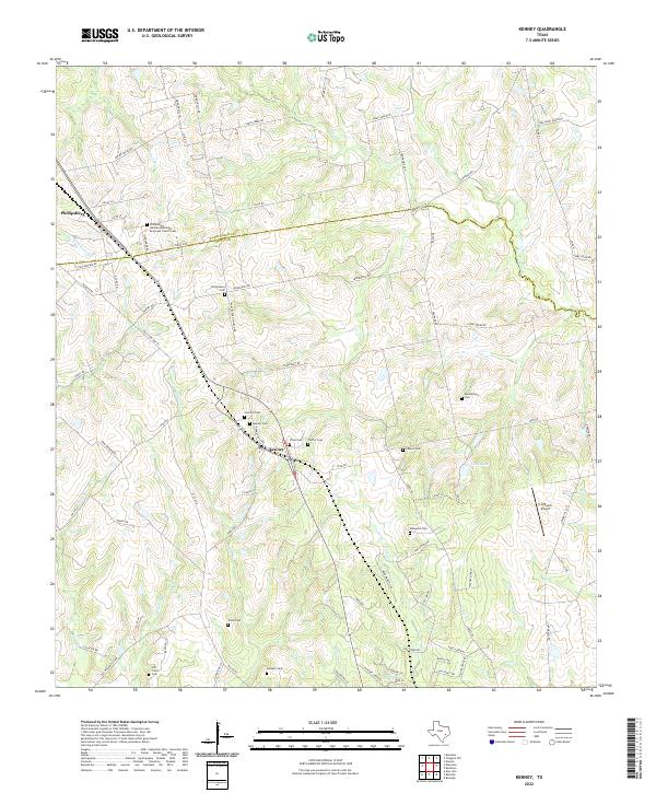
1963 Kenney
Austin County, TX
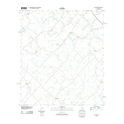
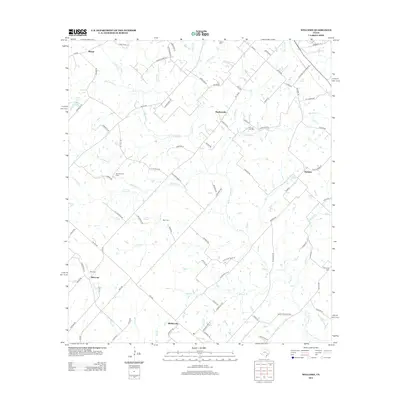
1963 Welcome
Austin County, TX
2010 Buckhorn
Austin County, TX
2010 Burleigh
Austin County, TX
2010 Cat Spring
Austin County, TX
2010 Kenney
Austin County, TX
2010 Rexville
Austin County, TX
2010 Welcome
Austin County, TX
2013 Buckhorn
Austin County, TX
2013 Burleigh
Austin County, TX
2013 Cat Spring
Austin County, TX
2013 Kenney
Austin County, TX
2013 Rexville
Austin County, TX
2013 Welcome
Austin County, TX
2016 Buckhorn
Austin County, TX
2016 Burleigh
Austin County, TX
2016 Cat Spring
Austin County, TX
2016 Kenney
Austin County, TX
2016 Rexville
Austin County, TX
2016 Welcome
Austin County, TX
2019 Buckhorn
Austin County, TX
2019 Burleigh
Austin County, TX
2019 Cat Spring
Austin County, TX
2019 Kenney
Austin County, TX
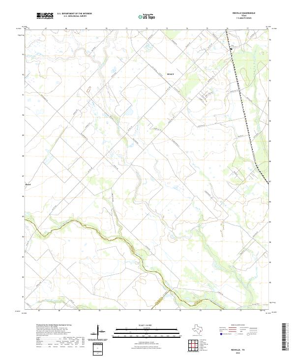
2019 Rexville
Austin County, TX
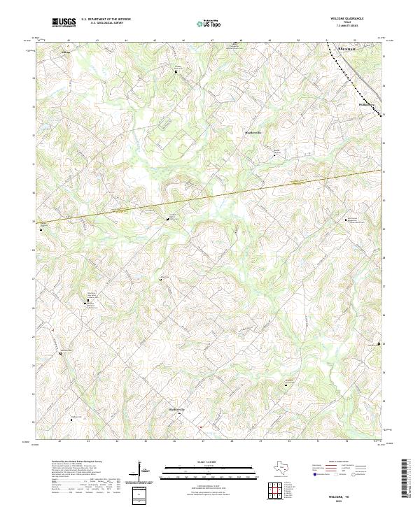
2019 Welcome
Austin County, TX
2022 Buckhorn
Austin County, TX
2022 Burleigh
Austin County, TX
2022 Cat Spring
Austin County, TX
2022 Kenney
Austin County, TX
2022 Rexville
Austin County, TX
2022 Welcome
Austin County, TX