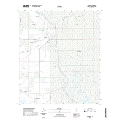
2020 Map of Catahoula
USGS Topo · Published 2020About this map
Catahoula and Catahoula Cove sit along the edge of the Atchafalaya Basin-Floodway, a complex environment where the land is strictly defined by levee systems and water management. To the east, the landscape dissolves into a labyrinth of waterways including Bayou La Rose, Crocodile Bayou, and Haha Bay. The map reveals the intricate drainage patterns of the region, featuring Cypress Brake and the sprawling Bay Baron. Traces of the area's long human history are visible at Indian Mound Cem and Our Lady of the Lake Cem. To the south, smaller communities like Bankers and Coteau Holmes line the roads following the Coulee Coteau Holmes, showing how settlement patterns have historically adhered to the higher ground provided by natural and man-made ridges.
Find a feature on this map
42 named features on this map. Tap any name to fly to it.
Don’t see what you’re looking for? This feature index may not catch every label — zoom into the map to look around manually.
Map Details
Editions of this 2020 Catahoula Map
This is the sole edition of this map. No revisions or reprints were ever made.
Other maps of this area

1935 · Osca Bayou
USGS Topo · 1:62,500

1939 · St. Martinsville
USGS Topo · 1:62,500

1940 · Arnaudville
USGS Topo · 1:62,500

1941 · Loreauville
USGS Topo · 1:62,500

1953 · Cow Bayou
USGS Topo · 1:24,000

1954 · Loreauville
USGS Topo · 1:62,500

1954 · Baton Rouge
USGS Topo · 1:250,000

1955 · Osca Bayou
USGS Topo · 1:62,500

1956 · Baton Rouge
USGS Topo · 1:250,000

1957 · St. Martinville
USGS Topo · 1:62,500