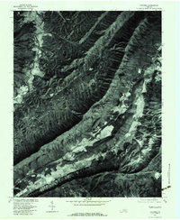
2022 Map of Catawba
USGS Topo · Published 2022About this map
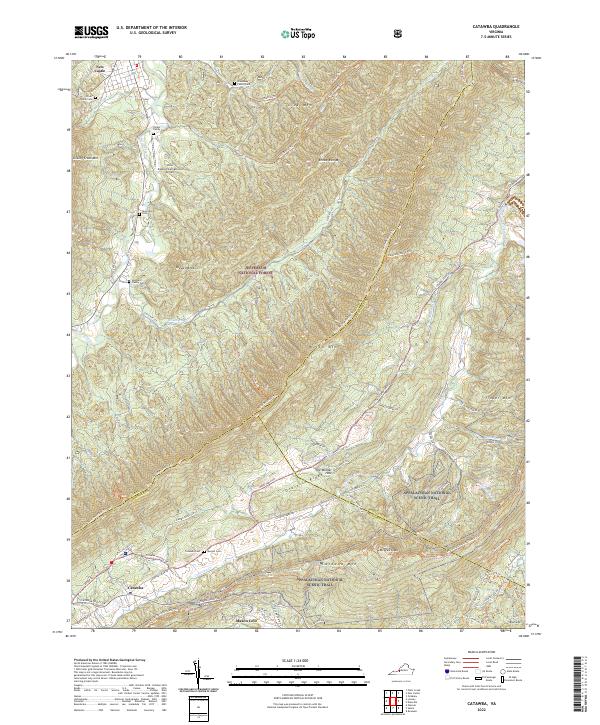
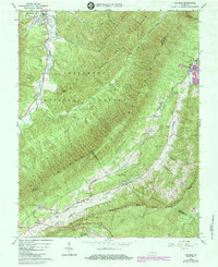
The settlement of Catawba lies along the valley floor where the Catawba Valley Dr meets the mountain ridges. This area is defined by the sharp topographical rise toward McAfee Knob and Tinker Mtn, with the Appalachian National Scenic Trail winding along the high ground of the ridge-and-valley landscape. Genealogists will find a significant distribution of family burial grounds throughout the countryside, including the Doss Family Cem, Carper Family Cem, and Spessard Family Cem, indicating generations of rural settlement in the valleys of Craig Creek and Broad Run.
Find a feature on this map
54 named features on this map. Tap any name to fly to it.
Don’t see what you’re looking for? This feature index may not catch every label — zoom into the map to look around manually.
Map Details
Editions of this 2022 Catawba Map
This is the sole edition of this map. No revisions or reprints were ever made.
Historical Maps of Medley Camp Through Time
14 maps found
1923 Waiteville
Craig County, VA

1931 Waiteville
Craig County, VA
1944 Waiteville
Craig County, VA
1951 Waiteville
Craig County, VA
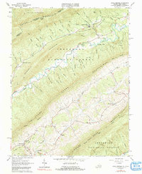
1963 Catawba
Craig County, VA
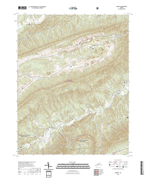
1963 Looney
Craig County, VA
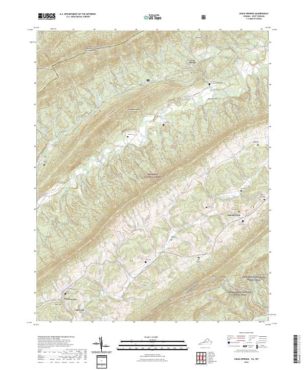
1965 Craig Springs
Craig County, VA
1966 Potts Creek
Craig County, VA
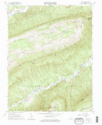
1977 Catawba
Craig County, VA
2022 Catawba
Craig County, VA
2022 Craig Springs
Craig County, VA
2022 Looney
Craig County, VA
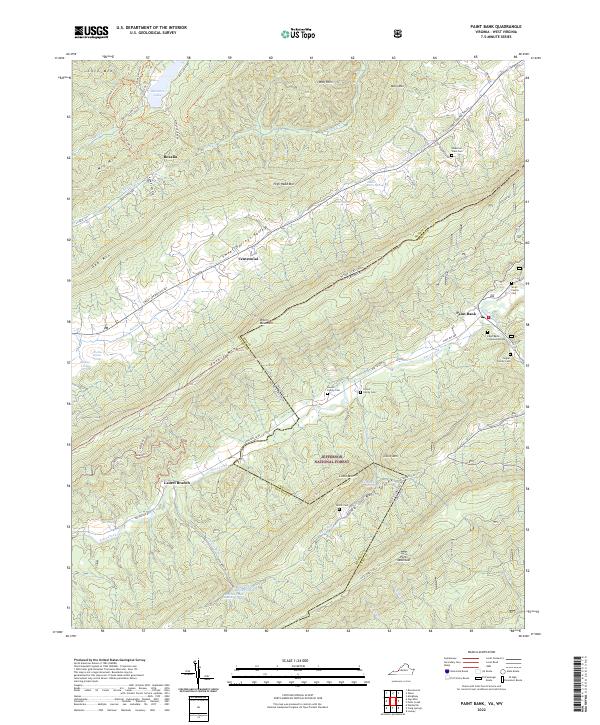
2022 Paint Bank
Craig County, VA
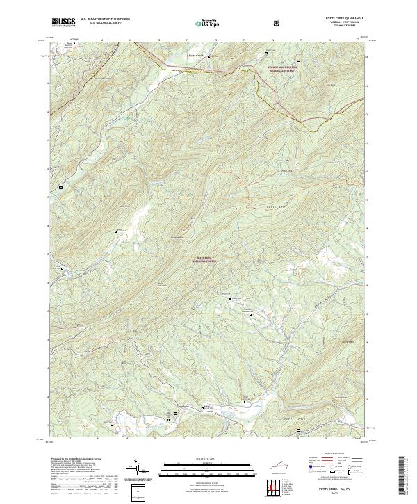
2022 Potts Creek
Craig County, VA