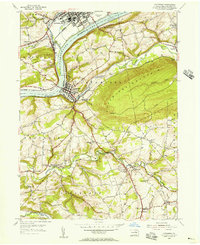
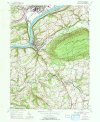
1955 Map of Catawissa
USGS Topo · Published 1956About this map
The Susquehanna River carves a deep valley through the heart of Columbia County, serving as the primary corridor for industry and transit in the mid-1950s. At the river's confluence with Fishing Creek, the town of Bloomsburg shows its established urban grid and infrastructure, including the Bloomsburg Airport and the Reading D L & W railroad. Across the water, the town of Catawissa is anchored at the foot of Catawissa Mountain, where several rail lines converge.
Find a feature on this map
56 named features on this map. Tap any name to fly to it.
Don’t see what you’re looking for? This feature index may not catch every label — zoom into the map to look around manually.
Map Details
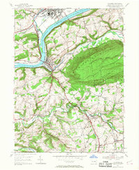
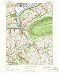
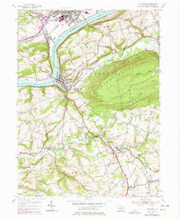
Editions of this 1955 Catawissa Map
5 editions found
Other maps of this area

1889 · Catawissa
USGS Topo · 1:62,500

1892 · Catawissa
USGS Topo · 1:62,500

1892 · Shamokin
USGS Topo · 1:62,500

1893 · Shamokin
USGS Topo · 1:62,500

1894 · Catawissa
USGS Topo · 1:62,500

1894 · Bloomsburg
USGS Topo · 1:62,500

1935 · Hughesville
USGS Topo · 1:62,500

1943 · Shamokin
USGS Topo · 1:62,500

1947 · Bloomsburg
USGS Topo · 1:24,000

1947 · Ashland
USGS Topo · 1:24,000