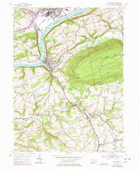
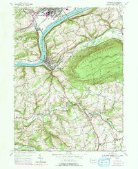
1955 Map of Catawissa
USGS Topo · Published 1978About this map
Bloomsburg stands as a primary hub where Fishing Creek meets the Susquehanna River, anchoring a landscape shaped by water and industry. The town is marked by its rail infrastructure, including the Conrail lines that trace the riverbanks, and the proximity of the Bloomsburg Airport. Across the water, the terrain rises sharply toward Catawissa Mountain and Montour Ridge, creating a narrow corridor for development and transport.
Find a feature on this map
55 named features on this map. Tap any name to fly to it.
Don’t see what you’re looking for? This feature index may not catch every label — zoom into the map to look around manually.
Map Details
Editions of this 1955 Catawissa Map
5 editions found
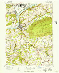
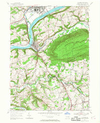
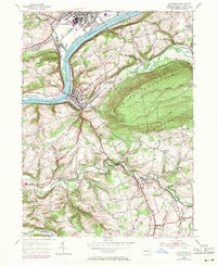
Other maps of this area

1889 · Catawissa
USGS Topo · 1:62,500

1892 · Catawissa
USGS Topo · 1:62,500

1892 · Shamokin
USGS Topo · 1:62,500

1893 · Shamokin
USGS Topo · 1:62,500

1894 · Catawissa
USGS Topo · 1:62,500

1894 · Bloomsburg
USGS Topo · 1:62,500

1935 · Hughesville
USGS Topo · 1:62,500

1943 · Shamokin
USGS Topo · 1:62,500

1947 · Bloomsburg
USGS Topo · 1:24,000

1947 · Ashland
USGS Topo · 1:24,000