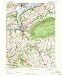
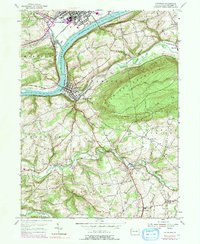
1955 Map of Catawissa
USGS Topo · Published 1971About this map
The Susquehanna River cuts through the heart of Columbia County, anchoring a landscape where industrial rail corridors and quiet valley hamlets meet. By the mid-1950s, the convergence of the Reading, Erie-Lackawanna, and Penn Central railroads at Catawissa and Rupert highlights the region's importance as a transportation hub. Beyond the busy river banks and the Bloomsburg Airport, the map reveals a rural interior defined by the ridges of Catawissa Mountain and Locust Mountain. Local history is preserved in the placement of numerous country schools like Clayton Sch and McIntyre Sch, alongside community landmarks such as the Covered Bridge over Roaring Creek. The southern reaches show a shift toward small-scale processing and mill sites, including Parrs Mill and Pensyls Mill, reflecting an economy still tied to the local watercourses and agricultural hollows.
Find a feature on this map
54 named features on this map. Tap any name to fly to it.
Don’t see what you’re looking for? This feature index may not catch every label — zoom into the map to look around manually.
Map Details
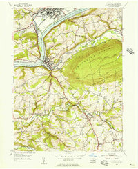
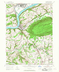
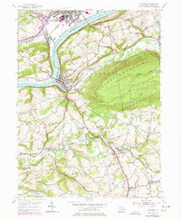
Editions of this 1955 Catawissa Map
5 editions found
Other maps of this area

1889 · Catawissa
USGS Topo · 1:62,500

1892 · Catawissa
USGS Topo · 1:62,500

1892 · Shamokin
USGS Topo · 1:62,500

1893 · Shamokin
USGS Topo · 1:62,500

1894 · Catawissa
USGS Topo · 1:62,500

1894 · Bloomsburg
USGS Topo · 1:62,500

1935 · Hughesville
USGS Topo · 1:62,500

1943 · Shamokin
USGS Topo · 1:62,500

1947 · Bloomsburg
USGS Topo · 1:24,000

1947 · Ashland
USGS Topo · 1:24,000