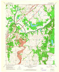
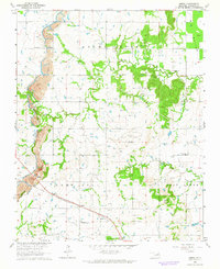
1963 Map of Catoosa
USGS Topo · Published 1964About this map
The Verdigris River and Bird Creek define the low-lying terrain of this early 1960s landscape, winding through broad alluvial areas like Rascal Flat and Big Bottom. Industrial activity is a prominent feature of the era, with an extensive Strip Mine cutting across the central hills and numerous Oil Wells and Gas Wells dotting the map. This period captures Catoosa and Verdigris before the major development of the McClellan-Kerr Arkansas River Navigation System altered the river's character.
Find a feature on this map
31 named features on this map. Tap any name to fly to it.
Don’t see what you’re looking for? This feature index may not catch every label — zoom into the map to look around manually.
Map Details
Editions of this 1963 Catoosa Map
4 editions found
Other maps of this area

1901 · Claremore
USGS Topo · 1:125,000

1914 · Claremore
USGS Topo · 1:125,000

1916 · Claremore
USGS Topo · 1:125,000

1954 · Tulsa
USGS Topo · 1:250,000

1955 · Mingo
USGS Topo · 1:24,000

1955 · Broken Arrow
USGS Topo · 1:24,000

1956 · Collinsville
USGS Topo · 1:24,000

1958 · Tulsa
USGS Topo · 1:250,000

1963 · Tulsa
USGS Topo · 1:250,000
1963 · Oneta
USGS Topo · 1:24,000