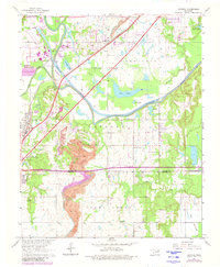
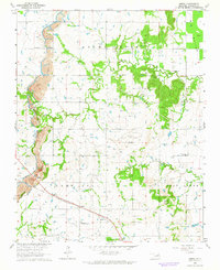
1963 Map of Catoosa
USGS Topo · Published 1980About this map
The Verdigris River and Bird Creek converge in this northeast Oklahoma corridor, defining a landscape shaped by both natural waterways and heavy industrial activity. Large Strip Mine excavations dominate the southern portion of the quadrangle near the Rogers Co Wagoner Co line, while the Will Rogers Toll Road and the St Louis-San Francisco railroad cut diagonally across the terrain, illustrating the region's role as a transportation hub.
Find a feature on this map
35 named features on this map. Tap any name to fly to it.
Don’t see what you’re looking for? This feature index may not catch every label — zoom into the map to look around manually.
Map Details
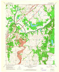
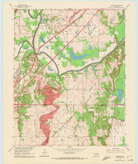
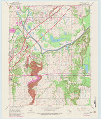
Editions of this 1963 Catoosa Map
4 editions found
Other maps of this area

1901 · Claremore
USGS Topo · 1:125,000

1914 · Claremore
USGS Topo · 1:125,000

1916 · Claremore
USGS Topo · 1:125,000

1954 · Tulsa
USGS Topo · 1:250,000

1955 · Mingo
USGS Topo · 1:24,000

1955 · Broken Arrow
USGS Topo · 1:24,000

1956 · Collinsville
USGS Topo · 1:24,000

1958 · Tulsa
USGS Topo · 1:250,000

1963 · Tulsa
USGS Topo · 1:250,000
1963 · Oneta
USGS Topo · 1:24,000