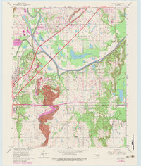
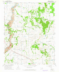
1963 Map of Catoosa
USGS Topo · Published 1983About this map
The Verdigris River and Bird Creek converge near Catoosa, marking a landscape defined by its riverine navigation and industrial progress. This 1963 survey, updated with 1978 aerial revisions, shows the town of Verdigris and the surrounding bottomlands as they transitioned into a vital transport corridor. The modern footprint of the Will Rogers Toll Road and the St Louis-San Francisco railroad bisect the terrain, running alongside legacy features like the Strip Mine and various gravel pits.
Find a feature on this map
31 named features on this map. Tap any name to fly to it.
Don’t see what you’re looking for? This feature index may not catch every label — zoom into the map to look around manually.
Map Details
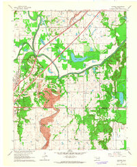
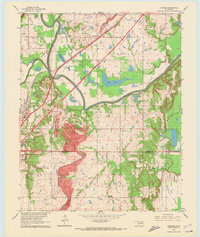
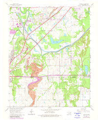
Editions of this 1963 Catoosa Map
4 editions found
Other maps of this area

1901 · Claremore
USGS Topo · 1:125,000

1914 · Claremore
USGS Topo · 1:125,000

1916 · Claremore
USGS Topo · 1:125,000

1954 · Tulsa
USGS Topo · 1:250,000

1955 · Mingo
USGS Topo · 1:24,000

1955 · Broken Arrow
USGS Topo · 1:24,000

1956 · Collinsville
USGS Topo · 1:24,000

1958 · Tulsa
USGS Topo · 1:250,000

1963 · Tulsa
USGS Topo · 1:250,000
1963 · Oneta
USGS Topo · 1:24,000