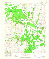
1963 Map of Catoosa SE
USGS Topo · Published 1964About this map
The Verdigris River snakes through the heart of Wagoner County in this early 1960s survey, defining a landscape of wide alluvial plains and intricate oxbow lakes. Fertile lowlands such as Adams Creek Bottom and Goodhope Bottom dominate the terrain, where the river's shifting path is marked by features like Runaround Lake and the Old River Channel. These bottomlands are broken by prominent banks at Bluff and scattered rapids, reflecting the natural hydrology before extensive modern alterations.
Find a feature on this map
31 named features on this map. Tap any name to fly to it.
Don’t see what you’re looking for? This feature index may not catch every label — zoom into the map to look around manually.
Map Details
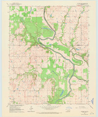
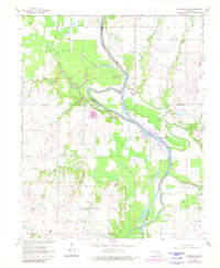
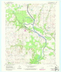
Editions of this 1963 Catoosa SE Map
4 editions found
Other maps of this area

1896 · Okmulgee
USGS Topo · 1:125,000

1896 · Pryor
USGS Topo · 1:125,000

1900 · Okmulgee
USGS Topo · 1:125,000

1901 · Muscogee
USGS Topo · 1:125,000

1901 · Claremore
USGS Topo · 1:125,000

1901 · Pryor
USGS Topo · 1:125,000

1905 · Muscogee
USGS Topo · 1:125,000

1914 · Claremore
USGS Topo · 1:125,000

1916 · Claremore
USGS Topo · 1:125,000

1946 · Fort Smith
USGS Topo · 1:250,000