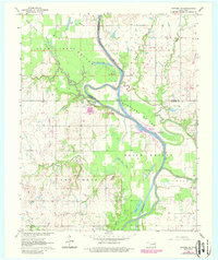
1963 Map of Catoosa SE
USGS Topo · Published 1988About this map
The Verdigris River carves a deep, winding course through this landscape, defining the fertile lowlands of Adams Creek Bottom and Goodhope Bottom. This 1963 survey, with revisions from 1978, documents the engineering of the McClellan-Kerr Arkansas River Navigation System, anchored by the Newt Graham Lock and Dam and the resulting expansion of Newt Graham Lake. The presence of numerous oxbow lakes, such as Snake Den Lake and Runaround Lake, illustrates the river's historical wandering across the floodplain before modern stabilization.
Find a feature on this map
38 named features on this map. Tap any name to fly to it.
Don’t see what you’re looking for? This feature index may not catch every label — zoom into the map to look around manually.
Map Details
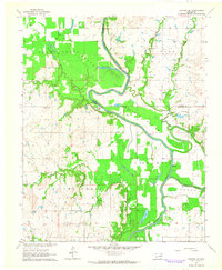
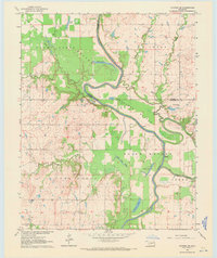
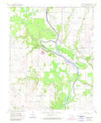
Editions of this 1963 Catoosa SE Map
4 editions found
Other maps of this area

1896 · Okmulgee
USGS Topo · 1:125,000

1896 · Pryor
USGS Topo · 1:125,000

1900 · Okmulgee
USGS Topo · 1:125,000

1901 · Muscogee
USGS Topo · 1:125,000

1901 · Claremore
USGS Topo · 1:125,000

1901 · Pryor
USGS Topo · 1:125,000

1905 · Muscogee
USGS Topo · 1:125,000

1914 · Claremore
USGS Topo · 1:125,000

1916 · Claremore
USGS Topo · 1:125,000

1946 · Fort Smith
USGS Topo · 1:250,000