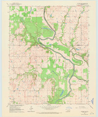
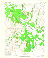
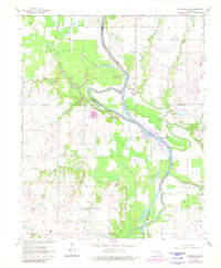
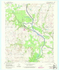
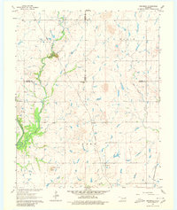
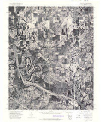
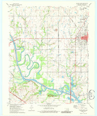
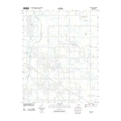
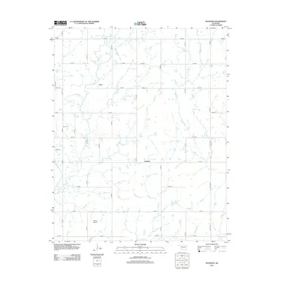
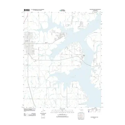
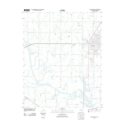
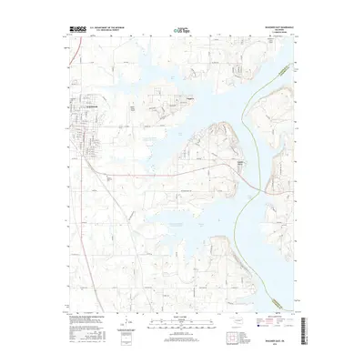
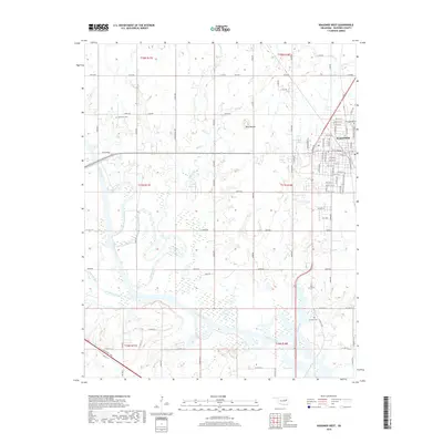
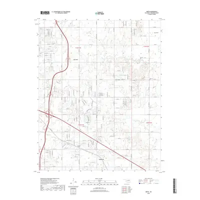
1963 Map of Catoosa SE
USGS Topo · Published 1971About this map
The Verdigris River carves a winding path through the fertile lowlands of Rogers and Wagoner counties, defining a landscape of expansive alluvial plains. This 1960s survey documents the complex hydrology of the river corridor before modern channelization altered many such waterways, featuring numerous oxbows and abandoned channels like Runaround Lake, Legas Lake, and the Old River Channel. These bottomlands, including Adams Creek Bottom and Goodhope Bottom, are flanked by distinctive terrain markers such as Snake Den Bluff.
Find a feature on this map
32 named features on this map. Tap any name to fly to it.
Don’t see what you’re looking for? This feature index may not catch every label — zoom into the map to look around manually.
Map Details
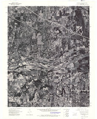
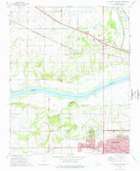
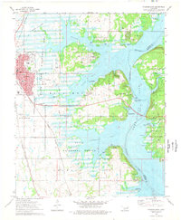
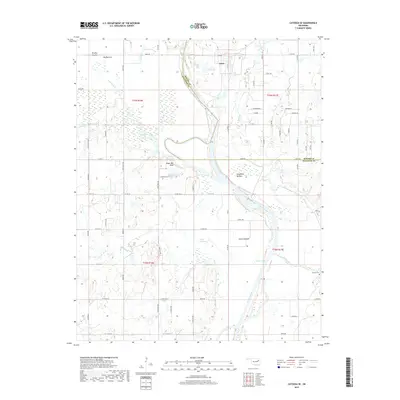
Editions of this 1963 Catoosa SE Map
4 editions found
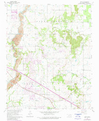
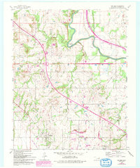
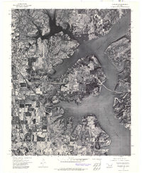
Historical Maps of Inola Through Time
45 maps found
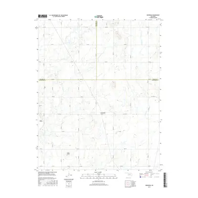
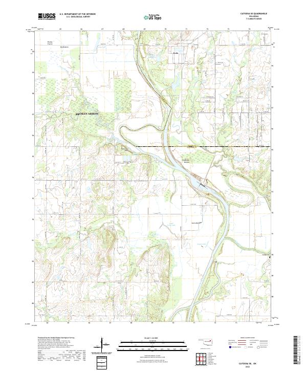
1963 Catoosa SE
Wagoner County, OK
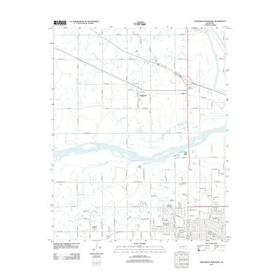
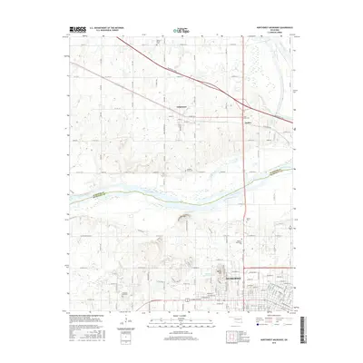
1963 Neodesha
Wagoner County, OK
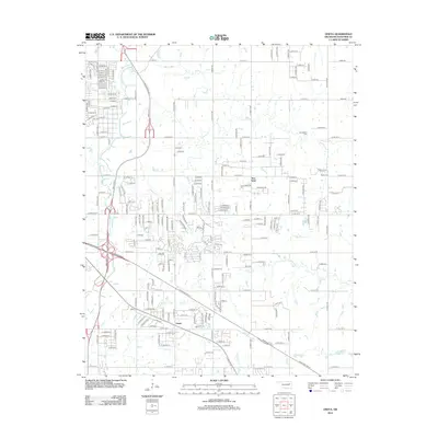
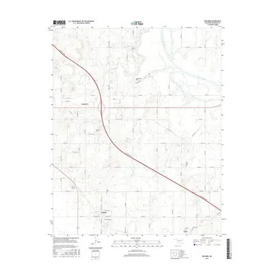
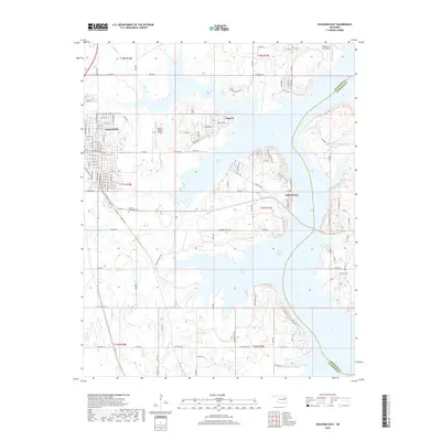
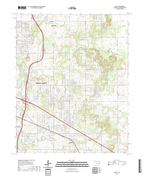
1963 Oneta
Wagoner County, OK
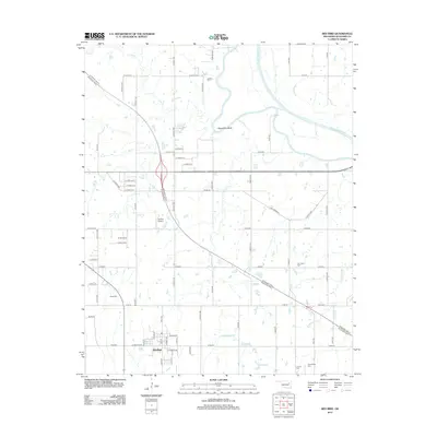
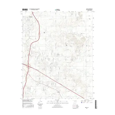
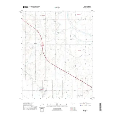
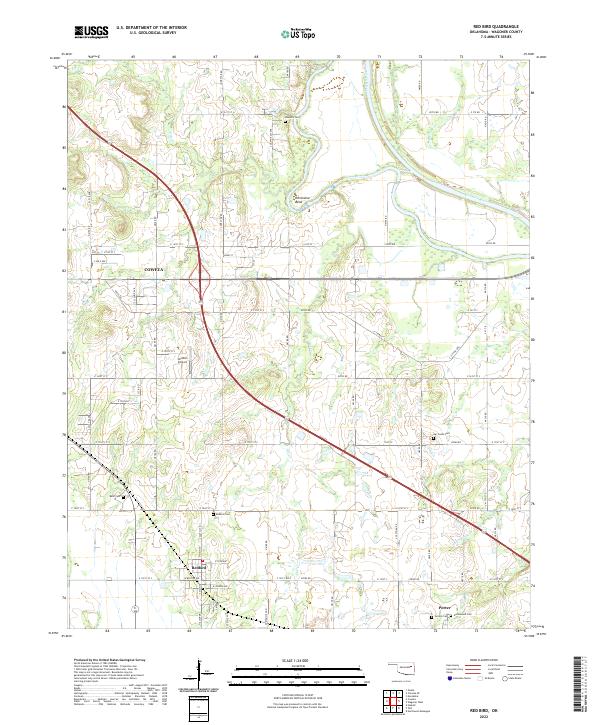
1963 Red Bird
Wagoner County, OK
1972 Wagoner NE
Wagoner County, OK
1972 Wagoner NW
Wagoner County, OK
1972 Wagoner SW
Wagoner County, OK
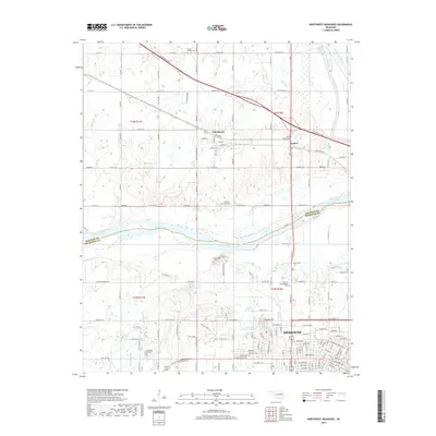
1974 Northwest Muskogee
Wagoner County, OK
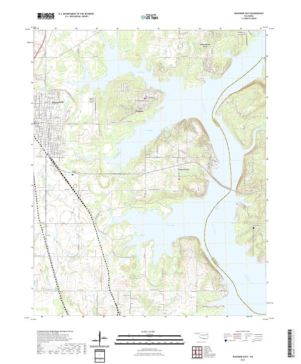
1974 Wagoner East
Wagoner County, OK
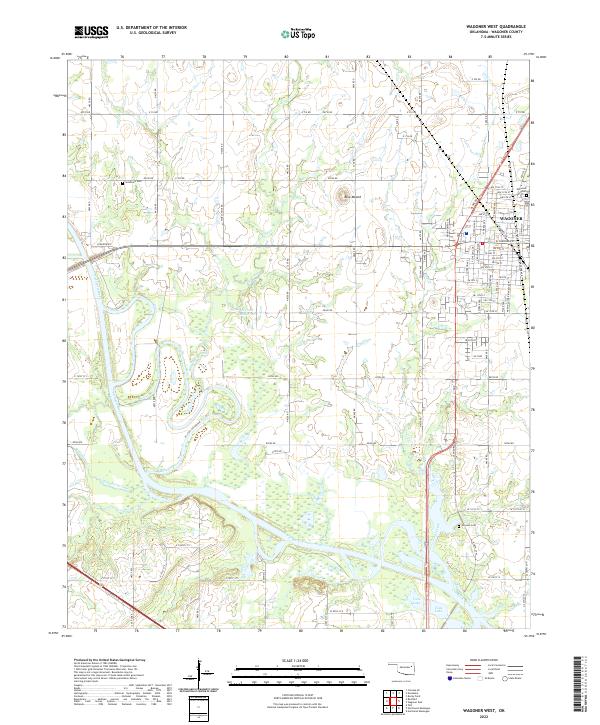
1974 Wagoner West
Wagoner County, OK
2010 Catoosa SE
Wagoner County, OK
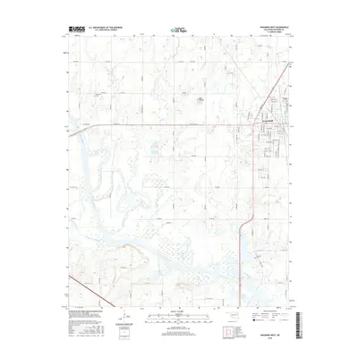
2010 Neodesha
Wagoner County, OK
2010 Northwest Muskogee
Wagoner County, OK
2010 Oneta
Wagoner County, OK
2010 Red Bird
Wagoner County, OK
2010 Wagoner East
Wagoner County, OK
2010 Wagoner West
Wagoner County, OK
2012 Neodesha
Wagoner County, OK
2012 Northwest Muskogee
Wagoner County, OK
2012 Oneta
Wagoner County, OK
2012 Red Bird
Wagoner County, OK
2012 Wagoner East
Wagoner County, OK
2012 Wagoner West
Wagoner County, OK
2013 Catoosa SE
Wagoner County, OK
2016 Catoosa SE
Wagoner County, OK
2016 Neodesha
Wagoner County, OK
2016 Northwest Muskogee
Wagoner County, OK
2016 Oneta
Wagoner County, OK
2016 Red Bird
Wagoner County, OK
2016 Wagoner East
Wagoner County, OK
2016 Wagoner West
Wagoner County, OK
2018 Red Bird
Wagoner County, OK
2018 Wagoner East
Wagoner County, OK
2018 Wagoner West
Wagoner County, OK
2019 Catoosa SE
Wagoner County, OK
2019 Neodesha
Wagoner County, OK
2019 Northwest Muskogee
Wagoner County, OK
2019 Oneta
Wagoner County, OK
2022 Catoosa SE
Wagoner County, OK
2022 Neodesha
Wagoner County, OK
2022 Northwest Muskogee
Wagoner County, OK
2022 Oneta
Wagoner County, OK
2022 Red Bird
Wagoner County, OK
2022 Wagoner East
Wagoner County, OK
2022 Wagoner West
Wagoner County, OK