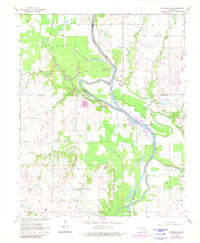
1963 Map of Catoosa SE
USGS Topo · Published 1980About this map
The Verdigris River dominates this landscape as it winds through a series of fertile agricultural basins including Big Bottom, Goodhope Bottom, and Guinn Bottom. By the early 1960s, the river’s character was being transformed by the McClellan–Kerr Arkansas River Navigation System, evidenced here by the Newt Graham Lake and the Newt Graham Lock and Dam. These developments sit alongside an older pastoral layer of the Oklahoma countryside, defined by rural landmarks such as Thomas Ch, Friendship Ch, and the Childers Cem. Steep relief is found at Snake Den Bluff, while the lowlands are webbed with oxbows and secondary waterways like Pecan Slough and Coal Creek. Small-scale industrial activity is also visible through several Oil Wells and Gravel Pits scattered across the river plains.
Find a feature on this map
37 named features on this map. Tap any name to fly to it.
Don’t see what you’re looking for? This feature index may not catch every label — zoom into the map to look around manually.
Map Details
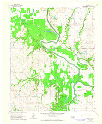
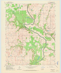
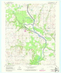
Editions of this 1963 Catoosa SE Map
4 editions found
Other maps of this area

1896 · Okmulgee
USGS Topo · 1:125,000

1896 · Pryor
USGS Topo · 1:125,000

1900 · Okmulgee
USGS Topo · 1:125,000

1901 · Muscogee
USGS Topo · 1:125,000

1901 · Claremore
USGS Topo · 1:125,000

1901 · Pryor
USGS Topo · 1:125,000

1905 · Muscogee
USGS Topo · 1:125,000

1914 · Claremore
USGS Topo · 1:125,000

1916 · Claremore
USGS Topo · 1:125,000

1946 · Fort Smith
USGS Topo · 1:250,000