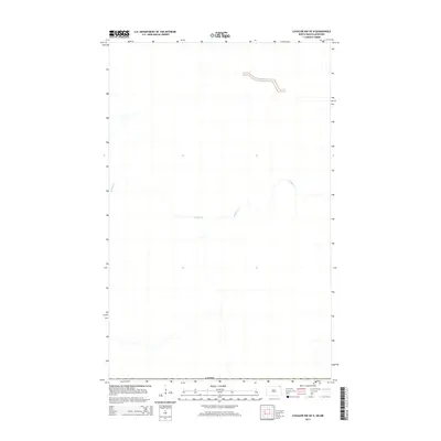
2014 Map of Cavalier NW OE N
USGS Topo · Published 2014About this map
The international border with Canada defines the southern edge of this northern landscape, marking the transition between North Dakota and Manitoba. The terrain is characterized by the meandering path of Buffalo Cr, which winds through the territory as a primary hydrological feature. This 2014 survey focuses on a remote section of the borderlands, where the drainage patterns of the creek and the geometric precision of the international boundary are the most prominent markers of human and natural geography. The map provides a look at the open rural expanse just north of the 49th parallel, captured during the early 21st century before modern satellite-only mapping became the standard.
Find a feature on this map
2 named features on this map. Tap any name to fly to it.
Don’t see what you’re looking for? This feature index may not catch every label — zoom into the map to look around manually.
Map Details
Editions of this 2014 Cavalier NW OE N Map
This is the sole edition of this map. No revisions or reprints were ever made.
Other maps of this area

1918 · Walhalla
USGS Topo · 1:62,500

1939 · Cavalier
USGS Topo · 1:62,500

1941 · Cavalier
USGS Topo · 1:62,500

1943 · Walhalla
USGS Topo · 1:62,500

1952 · Thief River Falls
USGS Topo · 1:250,000

1956 · Thief River Falls
USGS Topo · 1:250,000

1957 · Thief River Falls
USGS Topo · 1:250,000

1964 · Leroy
USGS Topo · 1:24,000

1964 · Neche
USGS Topo · 1:24,000
1964 · Cavalier NW
USGS Topo · 1:24,000