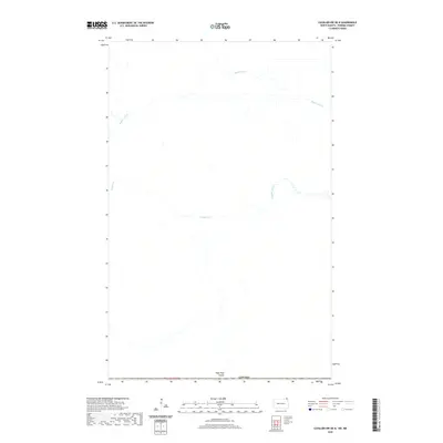
2020 Map of Cavalier NW OE N
USGS Topo · Published 2020About this map
The international border between North Dakota and Canada defines the southern reach of this landscape, where the flat drainage patterns of the Red River Valley are clearly visible. Buffalo Drain and Buffalo Creek meander across the northern portion of the quadrangle, illustrating the complex water management and natural irrigation essential to this borderland region. In the south, the terrain is marked by Hyde Park Coulee, a distinct topographical feature that underscores the subtle elevation changes in this part of Pembina County. The map provides a precise look at the township and range system near the border, specifically within t164n r55w, highlighting the organized grid of rural land divisions that have shaped local farming and property history for generations.
Find a feature on this map
6 named features on this map. Tap any name to fly to it.
Don’t see what you’re looking for? This feature index may not catch every label — zoom into the map to look around manually.
Map Details
Editions of this 2020 Cavalier NW OE N Map
This is the sole edition of this map. No revisions or reprints were ever made.
Other maps of this area

1918 · Walhalla
USGS Topo · 1:62,500

1939 · Cavalier
USGS Topo · 1:62,500

1941 · Cavalier
USGS Topo · 1:62,500

1943 · Walhalla
USGS Topo · 1:62,500

1952 · Thief River Falls
USGS Topo · 1:250,000

1956 · Thief River Falls
USGS Topo · 1:250,000

1957 · Thief River Falls
USGS Topo · 1:250,000

1964 · Leroy
USGS Topo · 1:24,000

1964 · Neche
USGS Topo · 1:24,000
1964 · Cavalier NW
USGS Topo · 1:24,000