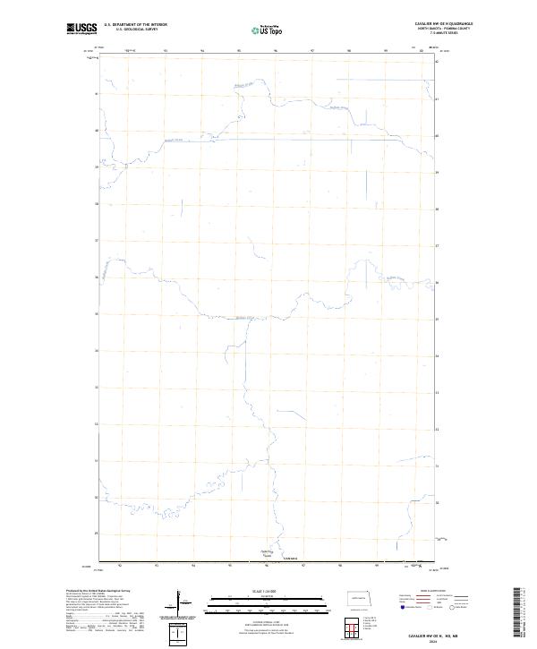
2024 Map of Cavalier NW OE N
USGS Topo · Published 2024About this map
Canada marks the northern limit of this survey, where the international boundary meets the agricultural lands of northernmost Pembina County. The landscape is defined by its subtle drainage patterns, specifically the winding course of Buffalo Creek and the network of the Buffalo Drain that channels water across the prairie. Near the southern edge of the sheet, the Hyde Park Coulee cuts through the terrain, suggesting the importance of these water management features in a region dominated by flat, open fields. This map provides a look at the rural section of Township 164 North, Range 55 West as it appeared in the early 21st century, illustrating the intersection of natural watercourses and the established township-and-range surveying system.
Find a feature on this map
5 named features on this map. Tap any name to fly to it.
Don’t see what you’re looking for? This feature index may not catch every label — zoom into the map to look around manually.
Map Details
Editions of this 2024 Cavalier NW OE N Map
This is the sole edition of this map. No revisions or reprints were ever made.
Other maps of this area

1918 · Walhalla
USGS Topo · 1:62,500

1939 · Cavalier
USGS Topo · 1:62,500

1941 · Cavalier
USGS Topo · 1:62,500

1943 · Walhalla
USGS Topo · 1:62,500

1952 · Thief River Falls
USGS Topo · 1:250,000

1956 · Thief River Falls
USGS Topo · 1:250,000

1957 · Thief River Falls
USGS Topo · 1:250,000

1964 · Leroy
USGS Topo · 1:24,000

1964 · Neche
USGS Topo · 1:24,000
1964 · Cavalier NW
USGS Topo · 1:24,000