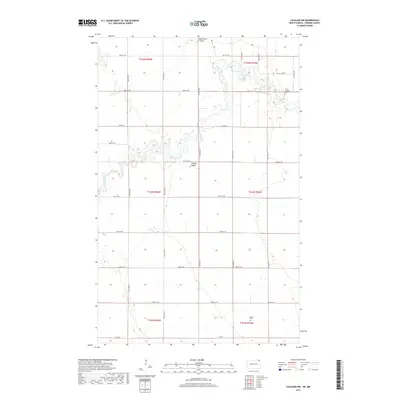
2017 Map of Cavalier NW
USGS Topo · Published 2017About this map
The Pembina River meanders through this portion of Pembina County, defining a landscape of deep coulees and agricultural section lines. The rural settlement of Tyner sits in the southern portion of the quadrangle, while the northern reaches are marked by the Christ Lutheran Cem near the river's bend. This 2017 survey reflects the persistent grid of the Public Land Survey System, with roads like Co RD 55 and Co RD 1 cutting across the terrain. Elevations such as Horgan Ridge rise above the drainage of Hyde Park Coulee, showing the subtle but significant topographical variations that dictate the region's drainage and land use. For those researching local family history or land ownership, the map provides a clear look at the intersection of natural watercourses and the established road network of the Red River Valley hinterlands.
Find a feature on this map
28 named features on this map. Tap any name to fly to it.
Don’t see what you’re looking for? This feature index may not catch every label — zoom into the map to look around manually.
Map Details
Editions of this 2017 Cavalier NW Map
This is the sole edition of this map. No revisions or reprints were ever made.
Other maps of this area

1918 · Walhalla
USGS Topo · 1:62,500

1939 · Cavalier
USGS Topo · 1:62,500

1941 · Cavalier
USGS Topo · 1:62,500

1943 · Walhalla
USGS Topo · 1:62,500

1952 · Thief River Falls
USGS Topo · 1:250,000

1956 · Thief River Falls
USGS Topo · 1:250,000

1957 · Thief River Falls
USGS Topo · 1:250,000

1964 · Hallson
USGS Topo · 1:24,000

1964 · Leroy
USGS Topo · 1:24,000

1964 · Neche
USGS Topo · 1:24,000