1985 Map of Cavalier
USGS Topo · Published 1985About this map
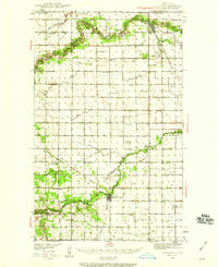
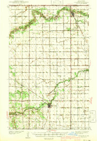
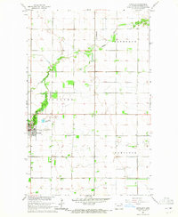
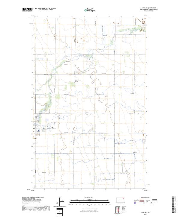
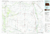
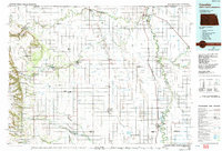
The Red River of the North defines the eastern boundary of this mid-1980s survey, where the border between North Dakota and Minnesota meets the international line of the Canada United States border. In this corner of the Red River Valley, the landscape is characterized by an extensive network of drainage infrastructure, including Judicial Ditch No 3 and County Ditch No 43, which support the region's agricultural productivity. To the west, the Pembina Hills provide a distinct shift in topography, rising above the flat valley floor near Walhalla.
Find a feature on this map
81 named features on this map. Tap any name to fly to it.
Don’t see what you’re looking for? This feature index may not catch every label — zoom into the map to look around manually.
Map Details
Editions of this 1985 Cavalier Map
2 editions found
Historical Maps of Cavalier Through Time
9 maps found