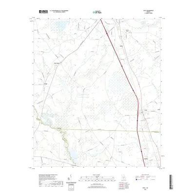
2020 Map of Cecil
USGS Topo · Published 2020About this map
Adel and Hahira anchor the north and south ends of this South Georgia landscape, connected by a corridor of development along Interstate 75. The topography is defined by the winding course of the Little River, which forms a significant portion of the boundary between Brooks, Cook, and Lowndes counties. This riverine environment is characterized by wide wetlands and numerous tributaries like Morrison Cr and Franks Cr, reflecting the drainage patterns typical of the coastal plain.
Find a feature on this map
87 named features on this map. Tap any name to fly to it.
Don’t see what you’re looking for? This feature index may not catch every label — zoom into the map to look around manually.
Map Details
Editions of this 2020 Cecil Map
This is the sole edition of this map. No revisions or reprints were ever made.
Other maps of this area

1953 · Waycross
USGS Topo · 1:250,000

1954 · Valdosta
USGS Topo · 1:250,000

1958 · Valdosta
USGS Topo · 1:250,000

1958 · Waycross
USGS Topo · 1:250,000

1959 · Valdosta
USGS Topo · 1:250,000

1961 · Hahira East
USGS Topo · 1:24,000

1961 · Quitman
USGS Topo · 1:62,500

1961 · Hahira West
USGS Topo · 1:24,000

1973 · Adel
USGS Topo · 1:24,000

1973 · New Lois
USGS Topo · 1:24,000