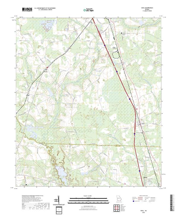
2024 Map of Cecil
USGS Topo · Published 2024About this map
Adel serves as a primary hub in the north, anchoring a landscape where the coastal plain transitions through several South Georgia counties. The map traces the triple-border intersection of Cook, Brooks, and Lowndes counties, revealing a pattern of agricultural land use and scattered rural settlements like Pine Valley and Greggs. Water systems dictate the local geography, with the Little River forming a western boundary and Franks Creek draining the central lowlands toward the southeast. Genealogists and local historians can locate established resting places including the Adel City Cem and the smaller Gornto Cem to the south. The proximity of the town of Cecil to major transit corridors highlights the region's 21st-century development, even as family-named landmarks like Hancock Pond and Smith Lake maintain the area’s traditional rural character.
Find a feature on this map
92 named features on this map. Tap any name to fly to it.
Don’t see what you’re looking for? This feature index may not catch every label — zoom into the map to look around manually.
Map Details
Editions of this 2024 Cecil Map
This is the sole edition of this map. No revisions or reprints were ever made.
Other maps of this area

1953 · Waycross
USGS Topo · 1:250,000

1954 · Valdosta
USGS Topo · 1:250,000

1958 · Valdosta
USGS Topo · 1:250,000

1958 · Waycross
USGS Topo · 1:250,000

1959 · Valdosta
USGS Topo · 1:250,000

1961 · Hahira East
USGS Topo · 1:24,000

1961 · Quitman
USGS Topo · 1:62,500

1961 · Hahira West
USGS Topo · 1:24,000

1973 · Adel
USGS Topo · 1:24,000

1973 · New Lois
USGS Topo · 1:24,000