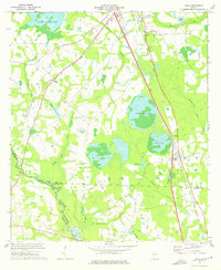
1973 Map of Cecil
USGS Topo · Published 1975About this map
The Georgia South and Florida railroad corridor anchors this survey, tracing a path through the lowland basins of Cook and Lowndes counties. The landscape is defined by a series of distinctive water bodies, ranging from the curiously named No Mans Friend Pond in the north to the large expanse of Heart Pine Pond and Big Pond near the center. These features, along with the marshy terrain of Cecil Bay, suggest a complex hydrological network that influenced early settlement patterns and the placement of small communities like Cecil.
Find a feature on this map
46 named features on this map. Tap any name to fly to it.
Don’t see what you’re looking for? This feature index may not catch every label — zoom into the map to look around manually.
Map Details
Editions of this 1973 Cecil Map
This is the sole edition of this map. No revisions or reprints were ever made.
Other maps of this area

1953 · Waycross
USGS Topo · 1:250,000
1954 · Valdosta
USGS Topo · 1:250,000
1958 · Valdosta
USGS Topo · 1:250,000
1958 · Waycross
USGS Topo · 1:250,000
1959 · Valdosta
USGS Topo · 1:250,000
1961 · Hahira East
USGS Topo · 1:24,000
1961 · Quitman
USGS Topo · 1:62,500
1961 · Hahira West
USGS Topo · 1:24,000
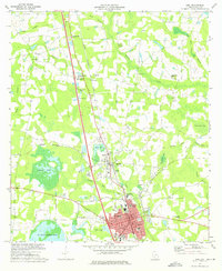
1973 · Adel
USGS Topo · 1:24,000
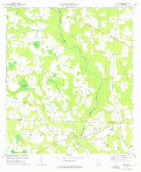
1973 · New Lois
USGS Topo · 1:24,000