Loading...
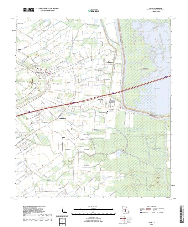
Loading map...2024 Map of Cecilia
USGS Topo · Published 2024About this map
Bayou Teche winds through the western edge of this landscape, anchoring a series of settlements that reflect the deep cultural geography of St. Martin Parish. The community of Cecilia serves as a central hub, surrounded by smaller locales like Champagne, Patin, and Nina Station. This area transitions from the inhabited banks of the bayou into the massive expanse of the Atchafalaya Basin Floodway to the east.
Find a feature on this map
118 named features on this map. Tap any name to fly to it.
Don’t see what you’re looking for? This feature index may not catch every label — zoom into the map to look around manually.
Map Details
Date Portrayed2024
Date Published2024
PublisherU.S. Geological Survey
Map TypeTopographic
Scale1:24000
Physical Dimensions24 x 29 inches
Editions of this 2024 Cecilia Map
This is the sole edition of this map. No revisions or reprints were ever made.
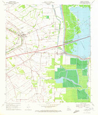
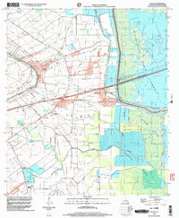
Historical Maps of Patin Through Time
3 maps found
Featured Locations
Source Details
SourceU.S. Geological Survey
CopyrightPublic Domain