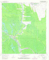
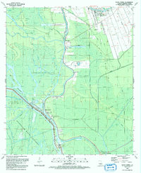
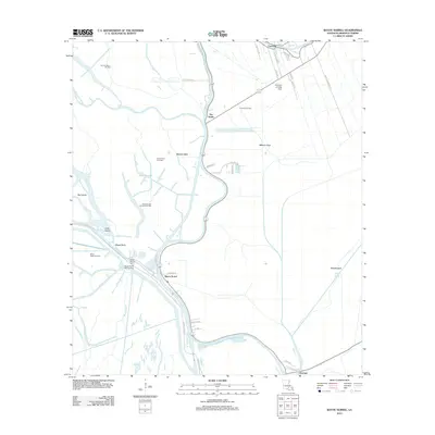
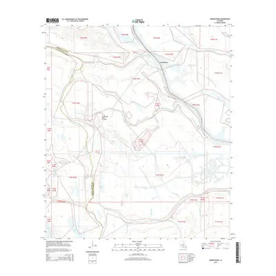
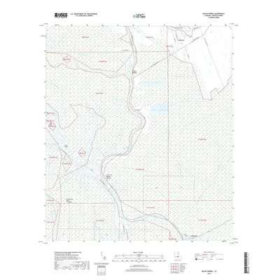
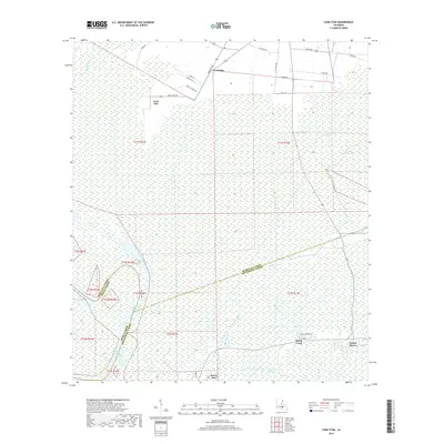
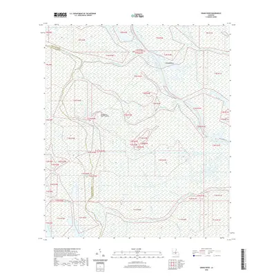
1959 Map of Osca Bayou
USGS Topo · Published 1960About this map
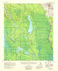
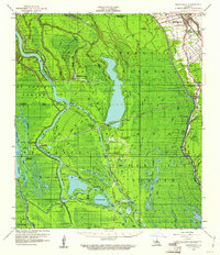
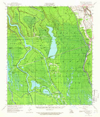
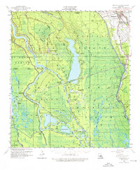
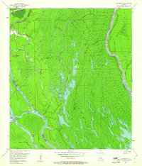
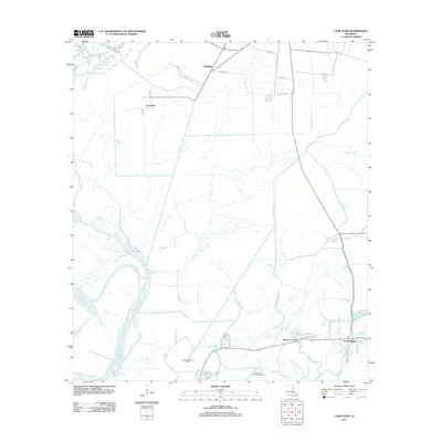
The Atchafalaya River and its intricate network of bayous dominate this 1959 survey of the Louisiana wetlands. Industrial signatures of the era are clearly visible in the Happytown Oil Field and Plumb Bob Oil Field, which dot the marshy landscape alongside numerous water bodies like Whiskey Bay and Lake Warner. To the northeast, the settlement of Maringouin serves as a local hub, featuring the Maringouin Municipal Tank and several community institutions including Little Zion Ch and the Maringouin Sch. The Texas and Pacific RR runs parallel to Bayou Grosse Tete, illustrating the transport corridor that linked these isolated communities to the broader region. Small landings and cemeteries like St Peter Cem and Butte La Rose Cemetery provide essential markers for genealogical research in this aquatic landscape.
Find a feature on this map
59 named features on this map. Tap any name to fly to it.
Don’t see what you’re looking for? This feature index may not catch every label — zoom into the map to look around manually.
Map Details
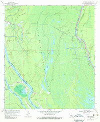
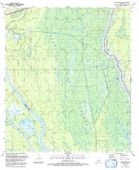
Editions of this 1959 Osca Bayou Map
4 editions found
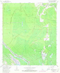
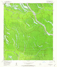
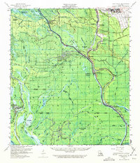
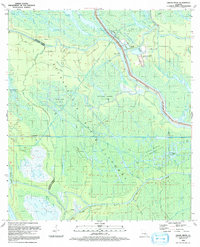
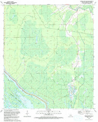
Historical Maps of Maringouin Through Time
47 maps found

1935 Chicot Lake
Iberville Parish, LA

1935 Osca Bayou
Iberville Parish, LA
1953 Cow Bayou
Iberville Parish, LA
1953 Grosse Tete SW
Iberville Parish, LA
1953 Pigeon Bay
Iberville Parish, LA

1954 Chicot Lake
Iberville Parish, LA

1955 Chicot Lake
Iberville Parish, LA

1955 Osca Bayou
Iberville Parish, LA
1959 Lake Chicot
Iberville Parish, LA
1969 Bayou Sorrel
Iberville Parish, LA
1969 Cow Bayou
Iberville Parish, LA
1969 Grand River
Iberville Parish, LA
1974 Lone Star
Iberville Parish, LA
1992 Bayou Sorrel
Iberville Parish, LA
1992 Cow Bayou
Iberville Parish, LA
1992 Grand River
Iberville Parish, LA
1992 Grosse Tete SW
Iberville Parish, LA
2012 Bayou Sorrel
Iberville Parish, LA
2012 Cow Bayou
Iberville Parish, LA
2012 Grand River
Iberville Parish, LA
2012 Grosse Tete SW
Iberville Parish, LA
2012 Lone Star
Iberville Parish, LA
2012 Saint Gabriel
Iberville Parish, LA
2015 Bayou Sorrel
Iberville Parish, LA
2015 Cow Bayou
Iberville Parish, LA
2015 Grand River
Iberville Parish, LA
2015 Grosse Tete SW
Iberville Parish, LA
2015 Lone Star
Iberville Parish, LA
2015 Saint Gabriel
Iberville Parish, LA
2018 Bayou Sorrel
Iberville Parish, LA
2018 Cow Bayou
Iberville Parish, LA
2018 Grand River
Iberville Parish, LA
2018 Grosse Tete SW
Iberville Parish, LA
2018 Lone Star
Iberville Parish, LA
2018 Saint Gabriel
Iberville Parish, LA
2020 Bayou Sorrel
Iberville Parish, LA
2020 Cow Bayou
Iberville Parish, LA
2020 Grand River
Iberville Parish, LA
2020 Grosse Tete SW
Iberville Parish, LA
2020 Lone Star
Iberville Parish, LA
2020 Saint Gabriel
Iberville Parish, LA
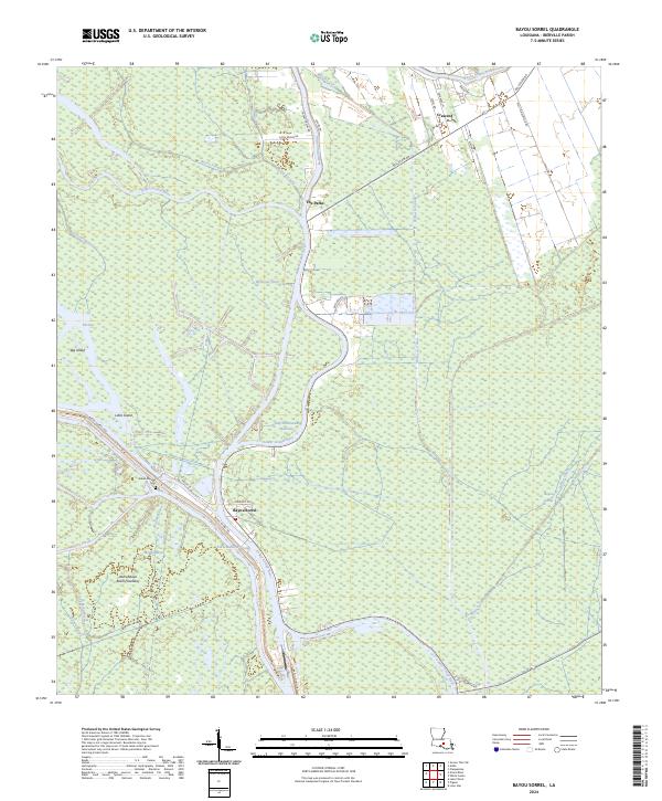
2024 Bayou Sorrel
Iberville Parish, LA
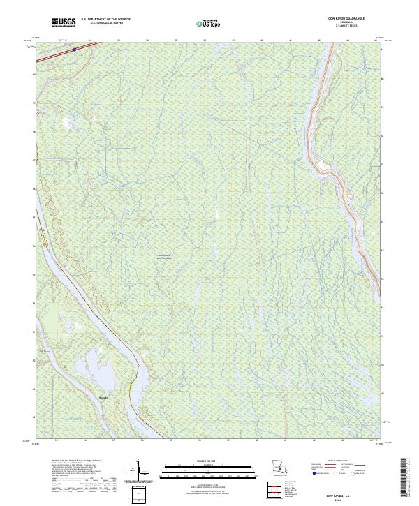
2024 Cow Bayou
Iberville Parish, LA
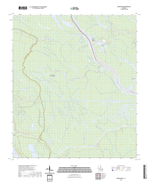
2024 Grand River
Iberville Parish, LA
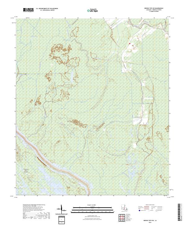
2024 Grosse Tete SW
Iberville Parish, LA
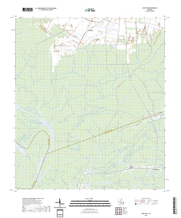
2024 Lone Star
Iberville Parish, LA
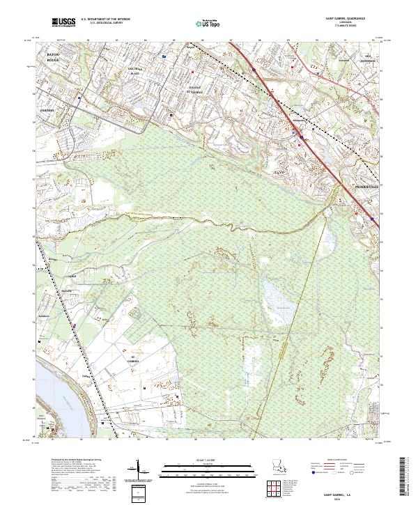
2024 Saint Gabriel
Iberville Parish, LA